Improvement District No. 9
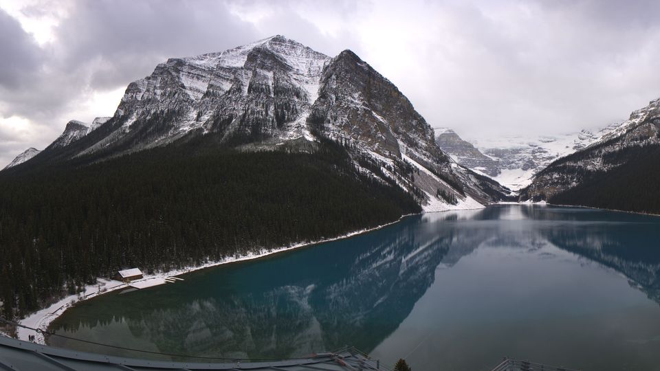
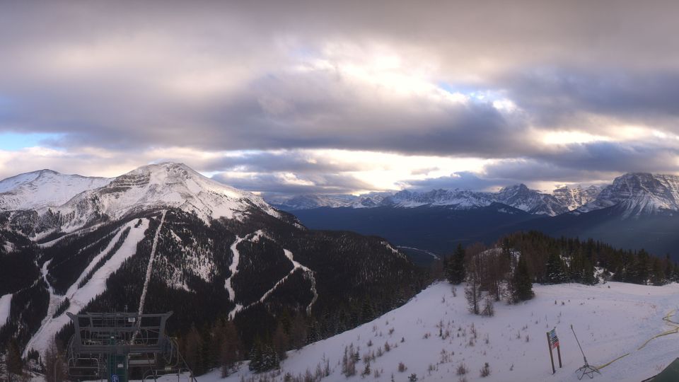
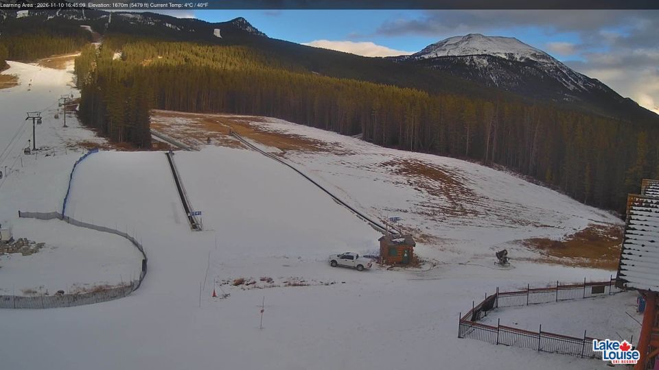
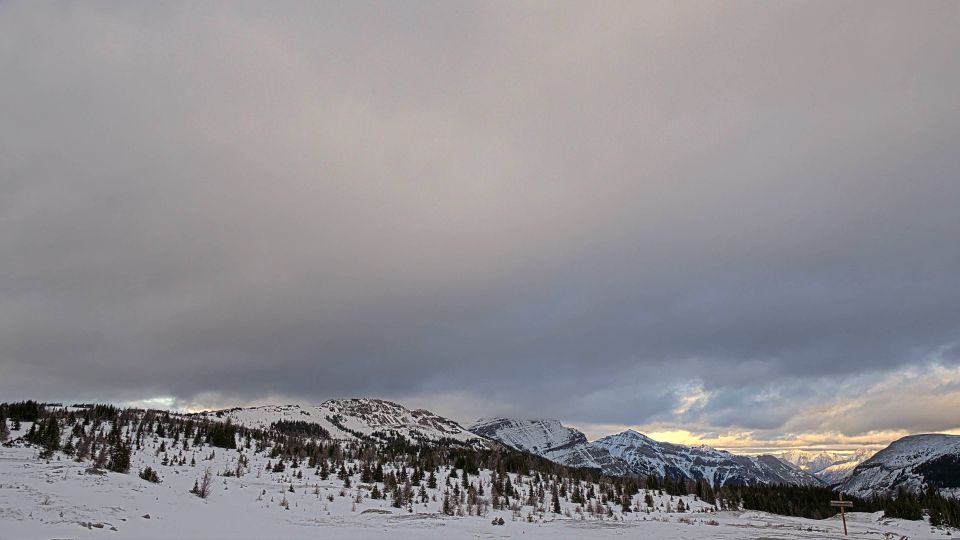
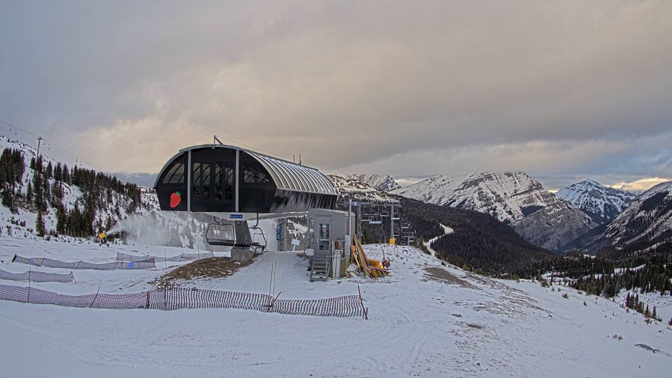
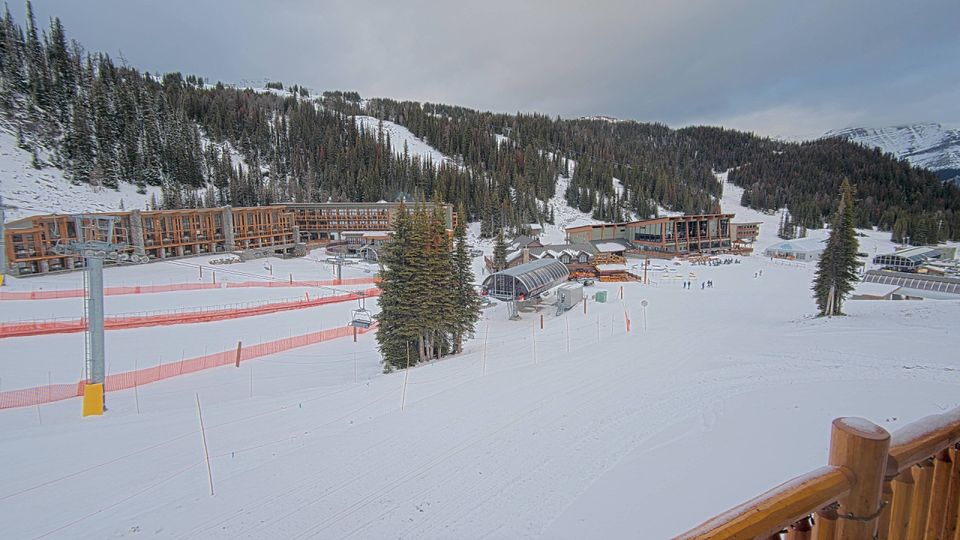
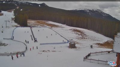
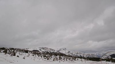
Improvement District No. 9 stretches from the Continental Divide to Banff National Park’s eastern boundary, encompassing the glacier-carved valleys and rugged peaks of the Canadian Rockies. The district is almost entirely defined by Banff National Park, established in 1885 as Canada’s first national park. The Bow River and North Saskatchewan River drain separate parts of this mountain terrain, while the Icefields Parkway links Lake Louise with the park’s northern high country. Wildlife corridors, conifer forests, and high passes give the area a distinctly alpine character. View additional webcams nearby to better understand how Improvement District No. 9 relates to its Rocky Mountain surroundings. Generated by AI
6 webcams

Featured webcams


Popular webcams
Recently added webcams