Uinta
The Uinta region has served as a mountain frontier within the United States since the nineteenth century. Centered on Utah’s east–west-running Uinta Mountains, this high country contrasts with the north–south trend of most Rocky Mountain ranges. Kings Peak, at 13,534 feet, is Utah’s highest point, while the range also contains the headwaters of the Weber River. Forests, alpine basins, and many small lakes shape the terrain around its passes and recreation areas. Much of the western range lies in Uinta-Wasatch-Cache National Forest, linking its road corridors to a long tradition of public-land travel and outdoor recreation. Browse additional webcams from the surrounding Uinta Mountains to extend your view of Utah’s high country. Generated by AI
4 webcams
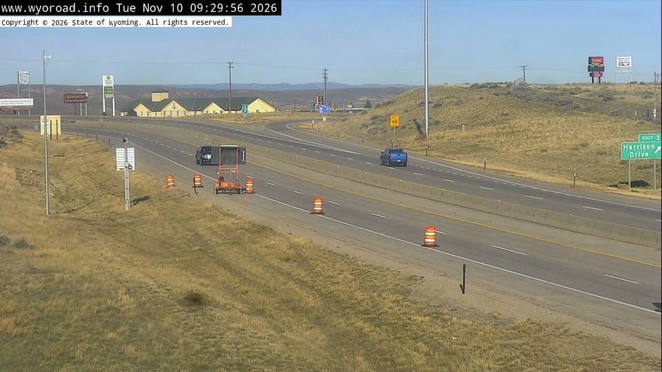

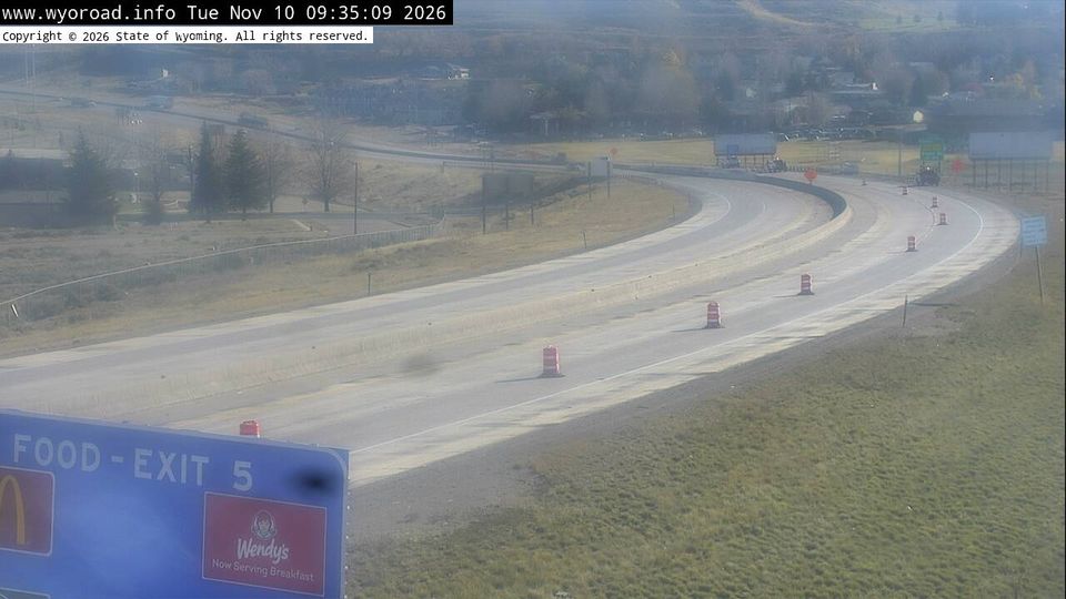
Featured webcams

Popular webcams