Malheur
The terrain of Malheur ranges from the dry Owyhee Mountains in its southern reaches to the Snake River lowlands along its eastern edge, creating a vast, sparsely settled high-desert county. The Owyhee River cuts through volcanic country before entering Owyhee Reservoir, while the Malheur River crosses the county on its way to the Snake. Ranching, irrigated agriculture and public rangeland shape local life across long distances. Vale, the county seat, developed as a stop on the Oregon Trail, and that past remains part of its identity. Ontario, near the Idaho border, is Malheur County’s largest city and a regional service centre. Explore further points of interest through webcams positioned throughout Malheur County. Generated by AI
2 webcams
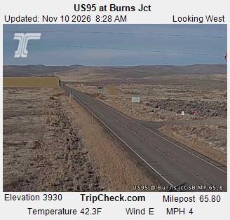


Featured webcams

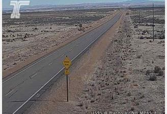
Popular webcams
Recently added webcams