 Δημοτική Ενότητα Ξυνιάδος: Κ. Μακρυρράχης
Among the places of Thessaly and Central Greece, Xyniada stands out for its broad cultivated basin beneath the wooded foothills of Mount Othrys. This municipal unit lies in Phthiotis, within the municipality of Domokos, where scattered settlements, pasture and fields occupy rolling ground between low ridges. The former Lake Xyniada once filled part of the basin; its drainage transformed the area into agricultural land and remains an important chapter in its local history. Grassland, arable plots and scrub-covered slopes give the countryside a distinctly rural character at the meeting point of the Thessalian plain and Greece’s central highlands.
Generated by AI
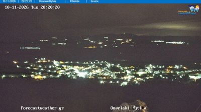
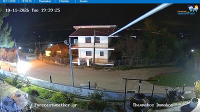


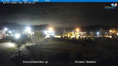


Built around the fertile basin of former Lake Xyniada, the Municipal Unit of Xyniada grew into a rural district of the Municipality of Domokos. Set on the northern side of the Othrys range in Phthiotis, it belongs to the inland transition between central Greece and Thessaly. The former lake basin has long shaped local farming and the settlement pattern of this broad upland plain. Xyniada was an independent municipality until Greece’s 2011 local-government reform incorporated it into Domokos. Explore nearby webcam locations that provide complementary perspectives on Othrys and central Greece.
6 webcams
Thessaly and Central Greece occupy a broad central stretch of mainland Greece. The Thessalian Plain, long associated with farming, lies between the Pindus Mountains to the west and the Aegean coast to the east, while Central Greece reaches south toward Mount Parnassus and the Gulf of Corinth. In northern Thessaly, the monasteries of Meteora stand atop towering rock pillars and form a UNESCO World Heritage site. Farther south, Delphi, on Parnassus, was one of the most important sanctuaries of the ancient Greek world. Together these areas link cultivated plains, rugged ranges and historic towns. Trace how Thessaly and Central Greece connect across mainland Greece by browsing webcams nearby.
188 webcams
Greece occupies a mountainous peninsula and island-dotted coastline in southeastern Europe. The Aegean Sea shapes its eastern shore, while the Ionian Sea lies to the west; Crete is the country’s largest island. Athens is anchored by the Acropolis, where the Parthenon has stood since the fifth century BCE as a defining monument of classical antiquity. Beyond the capital, the Pindus Mountains run through the mainland, and Mount Olympus is associated in ancient Greek religion with the home of the gods. Greek food traditions centre on olive oil, seafood, cheeses and regional dishes, with long meals remaining an important part of social life. Continue through nearby webcams to explore the islands and mainland regions of Greece.
486 webcams