 Ōtaki: SH1 Waitohu Stream
Ōtaki is best known within New Zealand for Rangiātea Church, a major Māori Anglican landmark. The town lies on the Kāpiti Coast beside the Ōtaki River, with the Tasman Sea to the west and the Tararua Range inland. Built in the 19th century under the leadership of missionary Octavius Hadfield, Rangiātea was destroyed by fire in 1995 and later reconstructed. Ōtaki is also an important centre for te ao Māori: Ōtaki Māori College and Te Wānanga o Raukawa are rooted here. Its annual Māoriland Film Festival gives the town an international Indigenous screen-arts profile, while its setting combines a broad coastal plain, farmland and transport links north of Wellington.
Generated by AI


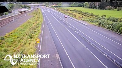
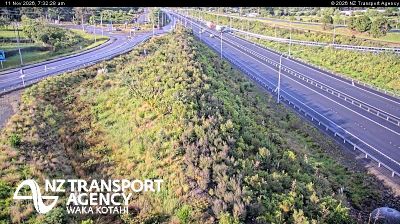


Otaki lies along the Ōtaki River, with the foothills of the Tararua Range rising inland and the Kāpiti Coast stretching west towards the Tasman Sea. The town has a strong Māori presence and is home to Te Wānanga o Raukawa, a Māori tertiary institution established in 1981. Rangiātea Church is another important local landmark: the present building was reconstructed after the 19th-century church was destroyed by fire in 1995. Otaki also serves as a practical base for reaching river country, coastal beaches and routes into the Tararua ranges. Continue through nearby webcams to explore different parts of Otaki and the Kāpiti Coast.
8 webcams
Built around Wellington Harbour, Wellington grew into New Zealand’s capital region, while its eastern districts extend beyond the Remutaka Range into rural Wairarapa. This location lies in South Wairarapa, near Martinborough, where vineyards and sheep-grazing country spread across plains around the Ruamahanga River. Martinborough is recognised for Pinot Noir, giving the district a distinct food-and-wine identity alongside its open farmland and small settlements. Across the range, Wellington city is home to Parliament and the national museum Te Papa Tongarewa. Trace South Wairarapa’s place in the wider Wellington Region by browsing webcams nearby.
39 webcams
New Zealand combines Pacific isolation with strong ties to the wider South Pacific in a way that reflects its position between the Tasman Sea and the open Pacific Ocean. The country’s two main islands are divided by Cook Strait, while the Southern Alps run along much of the South Island and include Aoraki / Mount Cook, its highest mountain. On the North Island, volcanic terrain shapes Tongariro National Park and the central plateau; long coastlines frame cities such as Auckland and Wellington. Māori culture is central to national life, and the Treaty of Waitangi, first signed in 1840, remains a foundational document in relations between Māori and the Crown. See how New Zealand fits within the wider South Pacific by browsing webcams nearby.
495 webcams