 České Budějovice: Ceske Budejovice 6: Město České Budějovice - Pohled na město
The landscape around České Budějovice is low-lying and shaped by the Vltava and Malše rivers, which has shaped both the built environment and local life. Founded in 1265 by King Přemysl Otakar II, the city developed as a planned royal town in southern Bohemia. Its broad Přemysl Otakar II Square is framed by arcaded burgher houses, the Baroque Samson Fountain and the Town Hall. The Black Tower, completed in the 16th century, remains a defining feature of the skyline. České Budějovice is also home to Budweiser Budvar, whose beer has made the city known far beyond Czechia. Residential districts and parks extend from the compact historic centre across the broad river plain.
Generated by AI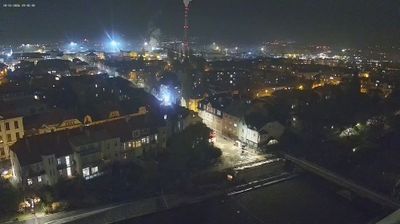
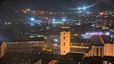
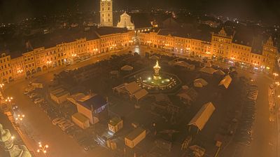





České Budějovice combines the ordered form of a medieval royal town with the everyday energy of a South Bohemian regional centre, reflecting its position at the confluence of the Vltava and Malše rivers. Founded in 1265 by King Přemysl Otakar II, it is organised around the vast Přemysl Otakar II Square, where the Baroque Samson Fountain stands beside arcaded townhouses. The 16th-century Black Tower remains a defining landmark, while the city is also closely associated with Budweiser Budvar beer, brewed here since 1895. View additional webcams nearby to better understand how South Bohemia relates to its river valleys and historic towns.
4 webcams
South Bohemian Region occupies a broad southern stretch of Bohemia in Czechia, reaching from the Šumava Mountains near Austria to the lowlands around České Budějovice. The Vltava flows north through this region, while the Třeboň area is renowned for its centuries-old network of fishponds and carp farming. Český Krumlov, set in a bend of the Vltava, is a UNESCO World Heritage Site known for its historic centre and castle complex. The regional capital, České Budějovice, is also home to the Budweiser Budvar brewery. Browse additional webcams from the surrounding area to extend your view of South Bohemia.
93 webcams
The terrain of Czechia ranges from fertile lowlands in southern Moravia to mountain ridges along the northern frontier, giving this Central European country a distinctly varied geography. The Vltava runs through Prague before joining the Elbe, while the Krkonoše form part of the border with Poland and include Sněžka, Czechia’s highest mountain. Prague’s historic centre, with Prague Castle and Charles Bridge, reflects the city’s long role as a political and cultural centre. Beyond the capital, Bohemia is known for spa towns and brewing, and Moravia for wine-growing traditions. View additional webcams nearby to better understand how Czechia relates to its Central European surroundings.
1.2K webcams