 Øvre Årdal: Brennborg
Øvre Årdal has served as an aluminium-production centre in Vestland since the mid-20th century. The town stands at the northern end of Årdalsvatnet, a long lake running south towards Årdalstangen and Årdalsfjorden, an arm of Sognefjord. Hydropower development and aluminium production reshaped the settlement after the Second World War, and industry remains central to its identity. Steep, wooded slopes confine the valley, while county road FV53 traces the lake shore as the principal road connection between Øvre Årdal and Årdalstangen. The wider Årdal municipality also includes Utladalen, a deep valley leading towards the high ground of Jotunheimen. Water, road infrastructure and mountain terrain define this compact fjord-community setting.
Generated by AI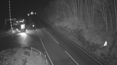
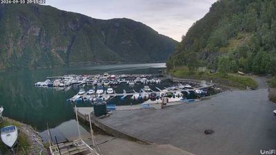
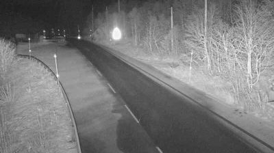

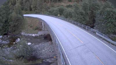

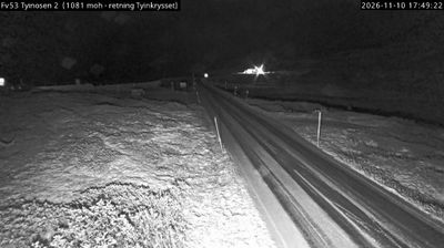


Øvre Årdal has served as an aluminium-industry town in Vestland since the late 1940s. Set at the inner end of Årdalsvatnet, it is enclosed by steep valley sides where the Utla river descends from Utladalen towards Jotunheimen. Aluminium production began at Årdal Verk in 1948, shaping the modern community and its working identity. The nearby Utladalen valley is known for Vettisfossen, a free-falling waterfall reached on foot from the valley. Roads and trails also connect the settlement with high-mountain terrain and local outdoor traditions. Browse additional webcams from the Årdal area to extend your view of inner Vestland.
4 webcams
Among the regions of Norway, Vestland stands out for fjords that cut deep into a coast backed by high mountains. Sognefjord, Norway’s longest and deepest fjord, reaches far inland, while Hardangerfjord is closely associated with orchards and spring blossom. The county extends from wave-battered islands and sheltered coastal communities to valleys, waterfalls and upland terrain. Bergen, Vestland’s largest city, developed as a Hanseatic trading centre; its wooden Bryggen wharf is a UNESCO World Heritage site. Maritime life, mountain routes and farming communities meet here. Browse other webcams across Vestland to place this fjord country in a wider geographic context.
233 webcams
Norway has served as a seafaring link between the North Atlantic and northern Europe since the Viking Age. Its long coastline is cut by fjords, while the Lofoten archipelago rises sharply from the Norwegian Sea and the mountains of Jotunheimen include Galdhøpiggen, Norway’s highest peak. Bergen’s Bryggen, the former Hanseatic wharf, recalls centuries of maritime trade. Farther north, Sámi culture remains an essential part of the country’s identity. Explore nearby webcam locations that provide complementary perspectives on Norway’s coast, fjords and mountain regions.
1.5K webcams