 Österskär: Ullnasjön
Trälhavet, an inlet of the Stockholm archipelago, defines the setting of Österskär — wooded shores and residential districts occupy the eastern edge of the Österåker area. Though part of Stockholm County, Österskär has a low-density coastal character, with forest extending between housing and transport corridors. It is the outer terminus of Roslagsbanan, the narrow-gauge suburban railway linking this part of the county with Stockholm. Trälhavet opens towards the wider archipelago, whose islands and channels form a distinctive stretch of Sweden’s Baltic coast. Österskär serves both as a commuter locality and as a residential base near Åkersberga’s waterfront.
Generated by AI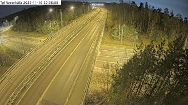



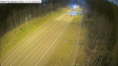
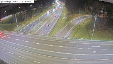
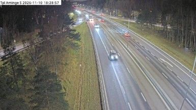
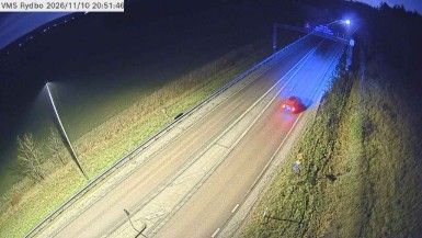
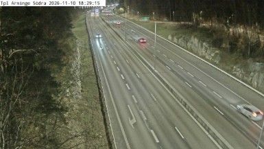
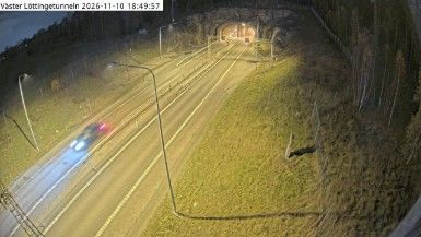

Osterskar, commonly written Österskär, lies between the built-up districts of Åkersberga and the inner Stockholm archipelago in Stockholm County, a position that has given this residential area coastal connections as well as rail access to the capital. It forms part of Österåker Municipality, northeast of central Stockholm, where the Baltic Sea’s island-filled waters shape local life and travel. The Österskär station is the terminus of Roslagsbanan, the regional railway linking the area with Stockholm. View additional webcams nearby to better understand how Österskär relates to the surrounding archipelago and Stockholm County.
1 webcam
Stockholm County's terrain runs from dense urban lowlands around Stockholm in the west to wooded granite islands of the Baltic archipelago in the east, bringing city neighbourhoods and open water into close proximity. Lake Mälaren reaches the Baltic through central Stockholm, while ferries link the capital with islands farther out to sea. Gamla Stan, Stockholm’s historic core, occupies islands between the lake and the sea, and its streets lead to the Royal Palace. Vaxholm Fortress, beside a key water route toward the capital, recalls the archipelago’s strategic importance. Find related webcams in the surrounding area to build a fuller picture of Stockholm County.
321 webcams
Sweden combines Baltic coastal life with Arctic expanses in a way that reflects its position within northern Europe. Forests, lakes and long shorelines define much of the country, from Lake Vänern in the south to the Gulf of Bothnia and the mountains along the Norwegian border. Stockholm spreads across islands where Lake Mälaren meets the Baltic Sea, while the preserved 17th-century warship at the Vasa Museum recalls Sweden’s era as a major European power. Midsummer celebrations and the traditions of the Sámi people add further depth to its regional identity. Browse other webcams across Sweden to place this setting in a wider geographic context.
984 webcams