 Zlotow: Województwo wielkopolskie, Rzeczpospolita Polska: Roundabout
Złotów straddles the Głomia River in the Krajna region of Greater Poland, with the river and local lakes shaping its green, water-oriented townscape. The town is the administrative seat of Złotów County and a regional centre for the surrounding lake district. Known as Flatow in German, Złotów belonged to Prussia and then Germany from the First Partition of Poland in 1772 until 1945. Its compact urban fabric is threaded with public green spaces, while Krajna’s gently rolling, lake-dotted terrain begins close to the centre.
Generated by AI

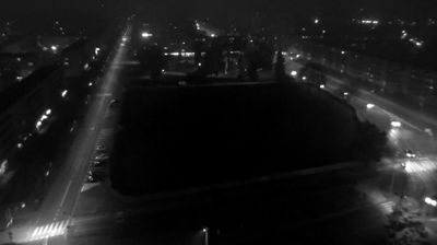
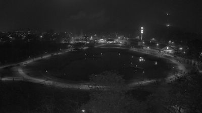
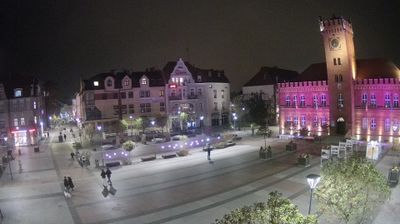

The Głomia River and Złotów’s chain of lakes define the setting of Złotów — their shores, parks and wooded edges bring water into the town’s everyday layout. Set in the historic region of Krajna, it lies in northern Greater Poland, where the terrain begins to take on the lake-dotted character of Pomerania. Złotów was known as Flatow during periods of Prussian and German rule, a past that remains important to its borderland story; it returned to Poland after the Second World War. Paths around the lakes provide a calm counterpart to the compact town centre. Move on to other webcams in Greater Poland Voivodeship to compare lake districts and town settings around Złotów.
2 webcams
The terrain of Greater Poland Voivodeship ranges from glacial lake districts in the north to broad lowlands in the south, creating a largely open landscape shaped by waterways and farming. The Warta, one of Poland’s principal rivers, crosses the region and flows through Poznań, its largest city and a major centre of trade, education and industry. Greater Poland has a central place in the country’s early history: Gniezno is closely associated with the beginnings of the Polish state, while Poznań’s Ostrów Tumski contains the city’s cathedral. Lakes, forests and cultivated fields give the voivodeship a distinctly inland character beyond its urban centres. Continue with other webcams from the area to see how this part of western Poland connects regionally.
29 webcams
Poland stretches from the Baltic Sea coast in the north to the Carpathian Mountains along its southern frontier, encompassing broad lowlands, lake districts and upland ranges. The Vistula, the country’s longest river, links Kraków and Warsaw before reaching the Baltic near Gdańsk, while the Masurian Lake District is defined by a dense network of lakes. Kraków’s historic centre, including Wawel Castle, recalls Poland’s former royal capital; Warsaw’s rebuilt Old Town speaks to the city’s recovery after the Second World War. The Białowieża Forest preserves one of Europe’s last primeval lowland forests and is home to European bison. Follow how Poland’s regions relate to one another by browsing webcams across the country.
716 webcams