 Zelezna Ruda: Hojsova Stráž
Among the places of the Plzeň Region, Železná Ruda stands out for its position on the Czech side of the Šumava Mountains beside the Bavarian border. The town lies in a high, forested landscape shaped by ridges, spruce woods and the lakes of the surrounding national park. Černé jezero, the largest natural lake in Šumava, lies nearby beneath steep wooded slopes. The area’s name, meaning “iron ore”, recalls the mining and ironworking that helped establish the settlement. Today Železná Ruda is a base for walking and cycling routes, cross-border rail journeys and the ski slopes around Špičák. Its services remain closely linked to a frontier mountain town rather than an urban resort.
Generated by AI

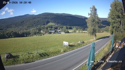

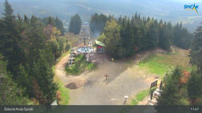
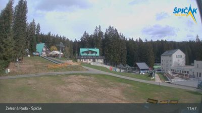


Železná Ruda has served as an iron-mining centre in the Šumava mountains since the 16th century. Set in the valley of the Řezná River near the German border, it is a key base for exploring the wooded uplands of Šumava National Park. Černé jezero and Čertovo jezero, two nearby glacial lakes, lie beneath forested slopes; Černé jezero is Czechia’s largest natural lake. Mining gave the town its name, meaning “iron ore”, while its rail link later connected this borderland with Bavaria. Winter brings skiers to its slopes and cross-country routes, and warmer months suit hiking and cycling. Browse additional webcams from the Šumava region to extend your view of this Czech–German borderland.
9 webcams
The river valleys of western Bohemia define much of Plzeň Region, supporting agriculture, linking historic towns and carrying the Mže, Radbuza, Úhlava and Úslava toward Plzeň. In the city, the Mže and Radbuza form the Berounka, while wooded highlands extend west toward the Bohemian Forest and south toward Šumava. Plzeň is the regional centre and the home of Pilsner Urquell: the beer was first brewed here in 1842 and gave its name to the pilsner style. Its centre is marked by the Gothic Cathedral of St Bartholomew and the Great Synagogue. Beyond the city, smaller towns, castles and rural roads give the region a distinct western-Bohemian character. Find related webcams in the surrounding area to build a fuller picture of Plzeň Region.
104 webcams
The terrain of Czechia ranges from fertile lowlands in southern Moravia to mountain ridges along the northern frontier, giving this Central European country a distinctly varied geography. The Vltava runs through Prague before joining the Elbe, while the Krkonoše form part of the border with Poland and include Sněžka, Czechia’s highest mountain. Prague’s historic centre, with Prague Castle and Charles Bridge, reflects the city’s long role as a political and cultural centre. Beyond the capital, Bohemia is known for spa towns and brewing, and Moravia for wine-growing traditions. View additional webcams nearby to better understand how Czechia relates to its Central European surroundings.
1.4K webcams