 Zederhaus: VK_A10_097,364-F2-FL
Zederhaus combines the quiet scale of a Salzburg Lungau settlement with the intensity of a major Alpine transport corridor, reflecting its position in the Tauern valleys. The municipality lies beside the A10 Tauern motorway, a north–south route linking Salzburg with Carinthia and carrying traffic through the Tauern Tunnel. Forested slopes and farmed valley ground frame the road infrastructure, while the Riedingtal extends from Zederhaus into the surrounding mountains. The village belongs to the UNESCO Biosphere Park Salzburg Lungau & Carinthian Nockberge, where Alpine farming remains part of the regional character. Zederhaus’s parish church forms a local focal point, distinct from the motorway’s functional trans-Alpine role.
Generated by AI
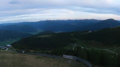


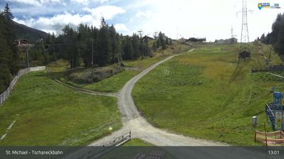

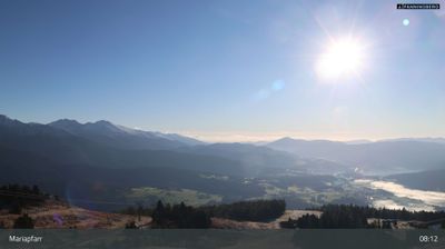

Zederhaus occupies a long Alpine valley in Salzburg’s Lungau region. The settlement follows the Zederhausbach, a mountain stream flowing toward the Mur, and its municipal territory extends into Hohe Tauern National Park. The Riedingtal side valley, protected as Naturpark Riedingtal, leads into high pasture country with mountain lakes, huts and marked walking routes. Alpine farming remains part of local life, while the parish church dedicated to St Lawrence provides a focal point in the village. Close to the Tauern Autobahn, Zederhaus nevertheless remains tied to the quieter valleys of the Austrian Alps. Continue through nearby webcams to explore different parts of Lungau and the Tauern mountains.
3 webcams
Salzburg is renowned in Austria for its UNESCO-listed Baroque capital and the musical legacy of Wolfgang Amadeus Mozart. Beyond the city, the Salzach runs south through broad valleys and market towns before the land rises into the Northern Limestone Alps and the Hohe Tauern. The province includes much of Hohe Tauern National Park, Austria’s largest national park, where high alpine terrain meets traditional pasture farming. Salt shaped Salzburg’s prosperity for centuries, while Hohensalzburg Fortress remains a defining landmark above the historic centre. Winter sports and summer hiking bring out the contrast between river valleys and mountain country. Explore other webcams in the region to compare landscapes and settings around Salzburg.
372 webcams
Austria stretches from the Bohemian Massif along its northern edge to the Carnic Alps on the Italian border, encompassing high Alpine ranges and the Danube lowlands. The Danube links cities including Linz and Vienna, while the Grossglockner, at 3,798 metres, is the country’s highest mountain. Vienna developed for centuries as the seat of the Habsburg court, leaving imperial architecture around the Hofburg and Schönbrunn Palace. Salzburg is closely associated with Wolfgang Amadeus Mozart, who was born there in 1756. Alpine Tyrol, wine-growing areas east of Vienna and the lakes of Salzkammergut add markedly different regional identities. Browse other webcams across Austria to place this setting in a wider geographic context.
2.9K webcams