 Zagreb: Vjesnik - Savska cesta - Slavonska avenija
The Sava River defines the setting of Zagreb — its broad floodplain has shaped the Croatian capital’s expansion south and west of the historic core. Savska cesta is one of the city’s principal north–south streets, while Slavonska avenija forms a major east–west traffic corridor; their meeting point belongs to Zagreb’s modern business and transport zone. The Vjesnik complex is a familiar modernist landmark, named after the newspaper publisher that once operated there. Zagreb’s blue trams are integral to the city’s public transport network, linking districts across this lowland metropolis. Farther north, the medieval Upper Town preserves St Mark’s Church, known for its tiled roof bearing the coats of arms of Zagreb and Croatia. This mix of arterial roads, post-war development and an older civic centre reflects a capital built in distinct urban layers.
Generated by AI
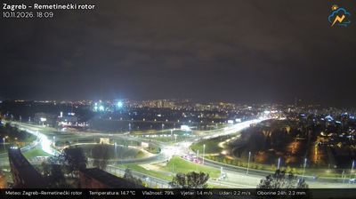
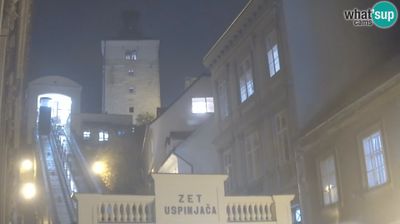
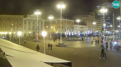


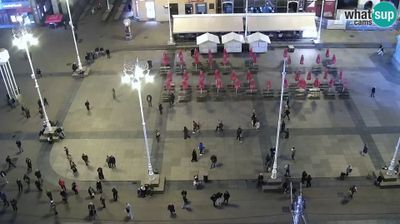


Tucked between the southern slopes of Medvednica and the Sava plain, Zagreb is a city whose character is shaped by the meeting of upland neighbourhoods and lowland urban growth. Croatia’s capital spreads from the historic Upper Town, where the medieval settlements of Gradec and Kaptol developed, towards broad avenues and parks in the Lower Town. St Mark’s Church is recognised for its tiled roof, while the Lotrščak Tower has marked noon with a cannon shot for generations. Dolac market remains a focal point of everyday city life, bringing regional produce into the centre. See how Zagreb fits within northern Croatia by browsing webcams nearby.
21 webcams
Built around the medieval settlements of Gradec and Kaptol, the City of Zagreb developed into Croatia’s capital and largest urban centre. It stretches from the southern slopes of Medvednica to the Sava River, combining dense central districts with broad lowland neighbourhoods. The cobbled streets of Gornji Grad preserve the older town, including St Mark’s Church, while the 19th-century Lower Town is arranged around parks, museums and grand public buildings. Zagreb’s daily character is shaped by café terraces, the Dolac market and a busy programme of theatre, music and sport. Browse additional webcams across the Zagreb area to extend your view of Croatia’s capital.
24 webcams
Croatia occupies a long Adriatic coastline in southeastern Europe. Its shore is broken into islands and sheltered coves, while the Dinaric Alps rise inland and the Danube forms part of its eastern border. Dubrovnik’s fortified old city faces the sea, and Split grew around Diocletian’s Palace, a Roman complex begun in the early fourth century. Inland, Plitvice Lakes National Park is known for terraced lakes linked by waterfalls and has been a UNESCO World Heritage Site since 1979. Istrian olive groves, Zagreb and Slavonia’s vineyards reveal distinct regional identities. Explore nearby webcam locations that provide complementary perspectives on the Adriatic coast and Croatia’s interior.
381 webcams