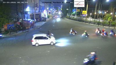
 Yogyakarta: Oud Djocdja , Transformatorhuis van ANIEM bij Nieuwe Wijk - Jalan Ngadikan - Jalan F.M. Noto - Jalan Serma Taruna Ramli
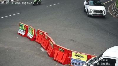
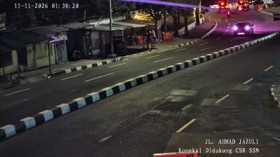
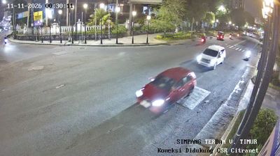
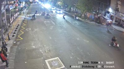
Few places in the Special Region of Yogyakarta have a history as closely tied to colonial-era urban planning as Kotabaru in Yogyakarta. Developed in the early 20th century as a residential quarter under Dutch rule, Kotabaru retains broad, intersecting streets and an unusually ordered layout amid the dense modern city. Jalan F.M. Noto meets Jalan Ngadikan and Jalan Serma Taruna Ramli here, near the Gardu ANIEM transformer house, a reminder of the neighbourhood’s early electrical infrastructure. The district lies on the east side of the Code River. Its former Dutch name, Nieuwe Wijk, survives in historical references, while Indonesian street names firmly place it in present-day Yogyakarta.
Generated by AI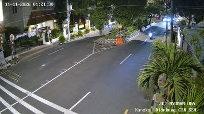
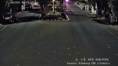
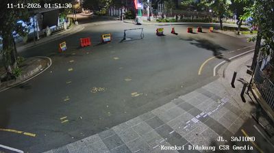


Yogyakarta straddles the Code River in south-central Java, its setting between Mount Merapi and the Indian Ocean shaping a city long tied to the Javanese court. The Kraton Yogyakarta remains the palace of the reigning Sultan, while the Special Region is Indonesia’s only province where the governorship is hereditary. Streets around Malioboro are a busy centre for batik, food and student life; the city is also a major base for reaching the UNESCO-listed Prambanan temple compounds. Find related webcams across the Special Region of Yogyakarta to build a fuller picture of Yogyakarta and its volcanic surroundings.
108 webcams
The Special Region of Yogyakarta extends from the southern slopes of Mount Merapi to the Indian Ocean coast, encompassing volcanic plains and limestone karst. Yogyakarta city is the region’s cultural centre, known for the Kraton, the royal palace of the Yogyakarta Sultanate, and for its long-standing traditions of batik, gamelan, and Javanese performing arts. South and east of the city, the Gunung Sewu karst creates a markedly drier terrain of caves, hills, and seasonal waterways, while the coastal districts meet the surf of the Indian Ocean. Browse other webcams across the Special Region of Yogyakarta to place this setting in a wider geographic context.
153 webcams
Indonesia has served as a maritime crossroads between the Indian and Pacific oceans since the early centuries of international trade. Its vast archipelago stretches across the equator, linking the volcanoes and rice-growing plains of Java with the rainforests of Borneo and the coral-fringed islands of eastern Indonesia. Java is home to Borobudur, a ninth-century Buddhist temple complex and UNESCO World Heritage Site, while Bali’s Hindu traditions shape daily ceremonies and temple life. Bahasa Indonesia provides a shared national language alongside hundreds of local languages. The Java Sea, Banda Sea and busy straits have long connected islands, ports and cuisines. Browse other webcams across Indonesia’s islands to place this setting in a wider geographic context.
598 webcams