 Wynyard: Burnie Airport
The landscape around Burnie Airport is a low, green coastal plain beside Bass Strait, which has shaped both the built environment and local life. Situated at Wynyard on Tasmania’s northwest coast, the airport is the regional air link for Burnie and surrounding communities. Its runway sits among open grazing and farming country, with wooded rises marking the edge of the coastal hinterland. Bass Strait has long connected Tasmania’s north coast to mainland Australia, while nearby Burnie developed around maritime trade and industry. West of Wynyard, Table Cape is a prominent volcanic headland above the strait and is associated with the district’s commercial tulip growing. Together, the airport, settled coastal plain and agricultural land express the practical, working character of this part of Tasmania.
Generated by AI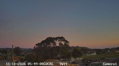





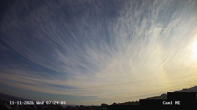

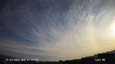


Wynyard combines the practical rhythm of a north-west Tasmanian town with an open coastal setting, reflecting its position at the mouth of the Inglis River on Bass Strait. Fossil Bluff rises beside the town’s shoreline, while the volcanic headland of Table Cape extends into the strait nearby. Table Cape Lighthouse, built in 1888, remains a familiar landmark above farmland known for its seasonal tulip displays. The town also serves as a base for exploring Tasmania’s far north-west coast, where river flats meet grazing country and exposed beaches. Browse additional webcams nearby to understand how Wynyard relates to the Bass Strait coast and inland farmland.
3 webcams
Among Australia’s regions, Tasmania stands out for its island setting south of Bass Strait and its large tracts of protected wilderness. Rugged mountain country, temperate rainforest and a deeply indented coastline give the state a character distinct from mainland Australia. Cradle Mountain–Lake St Clair National Park forms part of the Tasmanian Wilderness World Heritage Area, while Lake St Clair lies among the Central Highlands. On the Tasman Peninsula, Port Arthur preserves one of Australia’s best-known former convict settlements and is included in the UNESCO-listed Australian Convict Sites. Trace Tasmania’s place between Bass Strait and the Southern Ocean by browsing webcams nearby.
81 webcams
Australia’s terrain extends from tropical rainforests in the northeast to arid plains in the interior, producing dramatic climatic contrasts. The Great Dividing Range follows much of the eastern coast, while the Great Barrier Reef lies off Queensland in the Coral Sea and Uluru rises from the central desert. Aboriginal and Torres Strait Islander peoples maintain living cultures whose connections to Country long predate European settlement. In Sydney, the sail-like Opera House, completed in 1973, stands beside one of the world’s best-known harbours. Discover further points of interest through webcams located across Australia.
1.7K webcams