 Wortmanns: Richardson Highway
Wortmanns sits in a valley of the Chugach Mountains in Alaska, United States, where the Richardson Highway threads between wooded slopes and high, glaciated ridges. This small roadside locality lies east of Valdez, on the principal road connection between the port city and Alaska’s Interior. The surrounding country forms part of Chugach National Forest, an extensive protected area of coastal mountains, glaciers and temperate rainforest. The highway follows the historic Valdez–Fairbanks route, whose early development supported the movement of people and supplies from Prince William Sound toward Interior mining country. Road, forest and steep mountain walls set the scale here rather than urban development.
Generated by AI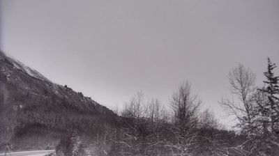
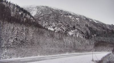
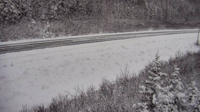
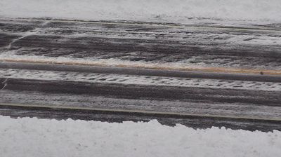
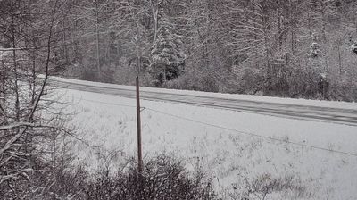
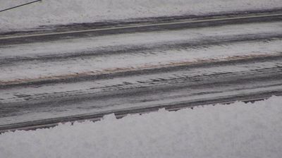
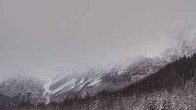


Wortmanns combines an isolated roadside character with a through-route role, reflecting its geographic position in the Chugach Mountains of southern Alaska. The Richardson Highway follows one of the overland connections between the port of Valdez and Alaska’s Interior, developing from the historic Valdez–Fairbanks Trail. Steep mountain terrain, forest cover and long winter conditions shape this stretch of the route. Browse other webcams across Alaska to place this mountain corridor in a wider geographic context.
9 webcams
Built around the homelands of Indigenous peoples and later linked by fur-trade and mining routes, Alaska grew into the largest state in the United States. These coordinates lie in the Interior, where the Tanana River crosses a country of broad lowlands, boreal forest and long winters. Alaska extends from the Gulf of Alaska to the Arctic Ocean and includes Denali, North America’s highest mountain. Athabascan communities remain central to the living cultural fabric of the interior. The Alaska Railroad reached Fairbanks in 1923, helping connect this remote region with the coast. Browse additional webcams from the surrounding area to extend your view of Interior Alaska.
412 webcams
The Atlantic, Pacific and Gulf coasts define much of the United States — their ports, fisheries and trade routes have long tied the country’s economy to the wider world. Between them, the Rocky Mountains, Great Plains and Mississippi River basin form sharply different regions, from high western ranges to broad agricultural heartlands. Cities carry much of the national story: New York’s Statue of Liberty, a gift from France dedicated in 1886, remains an enduring symbol, while Washington, DC concentrates major federal institutions. Indigenous nations have shaped these lands for millennia, and their living cultures remain essential to the country’s identity. Find related webcams in the surrounding areas to build a fuller picture of the United States.
32K webcams