 Windsor: Windsor Road
The landscape around Windsor is a low-lying river plain beside the Hawkesbury River, which has shaped both the built environment and local life. Windsor Road crosses the river on Windsor Bridge, joining the town centre on its northern bank with suburbs and farmland to the south. This route forms part of the historic road corridor between Sydney and the Hawkesbury district, long valued for its fertile alluvial soils. Windsor was proclaimed a town by Governor Lachlan Macquarie in 1810, and its centre retains a notable collection of colonial-era buildings. The river remains central to the town’s identity, while the bridge carries daily traffic through one of western Sydney’s oldest settled areas.
Generated by AI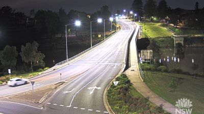

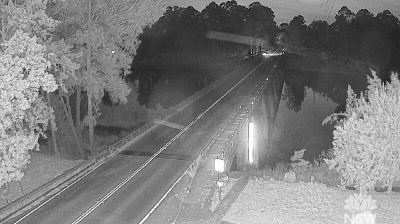


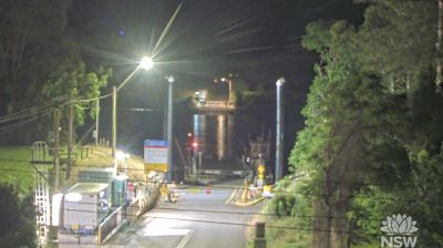
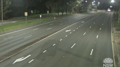
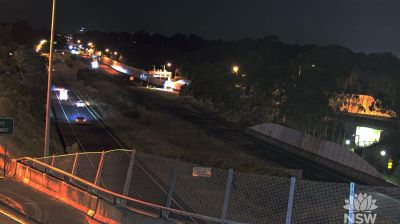
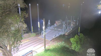
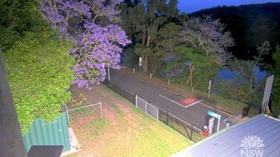

Windsor combines a formal colonial town centre with the working rhythms of a river floodplain, reflecting its position on the Hawkesbury River in New South Wales. Governor Lachlan Macquarie founded it in 1810 as one of the five Macquarie Towns, and its street plan still gives the centre a measured, early-settlement character. Thompson Square, beside the river, is regarded as Australia’s oldest public square and is bordered by significant colonial-era buildings. St Matthew’s Anglican Church, designed by convict architect Francis Greenway, adds a distinguished Georgian landmark. The fertile Hawkesbury Valley long supported farming, while repeated floods have remained central to Windsor’s story. View additional webcams nearby to better understand how Windsor and the Hawkesbury Valley relate to their surroundings.
2 webcams
New South Wales is widely known within Australia for Sydney Harbour, home to the Sydney Opera House and the Sydney Harbour Bridge. The state extends from the Pacific coastline across the Great Dividing Range to wide inland plains within the Murray–Darling Basin. Sydney is Australia’s largest city and a major centre for finance, arts and international travel, while inland districts are strongly associated with farming and long distances between towns. The Blue Mountains, west of Sydney, form part of a UNESCO World Heritage area of eucalyptus forests, sandstone escarpments and deep valleys. View additional webcams nearby to better understand how New South Wales relates to its coast, ranges and inland country.
511 webcams
Australia’s terrain extends from tropical rainforests in the northeast to arid plains in the interior, producing dramatic climatic contrasts. The Great Dividing Range follows much of the eastern coast, while the Great Barrier Reef lies off Queensland in the Coral Sea and Uluru rises from the central desert. Aboriginal and Torres Strait Islander peoples maintain living cultures whose connections to Country long predate European settlement. In Sydney, the sail-like Opera House, completed in 1973, stands beside one of the world’s best-known harbours. Discover further points of interest through webcams located across Australia.
1.7K webcams