 Whipple
 is best known within Arizona for Fort Whipple, a U.S. Army post founded in 1863. The former fort is in Prescott and today forms part of a Veterans Affairs health-care campus, preserving a link to the military presence that helped shape northern Arizona during the territorial era. Whipple lies along State Route 69, the principal road connecting Prescott with Prescott Valley and communities farther east. Broad, rolling ground and scattered trees give the roadside a high-desert character, while the Bradshaw Mountains rise to the south. Near the highway, Frontier Village forms part of Prescott’s established retail and service corridor. Whipple is less a separate urban centre than a historic precinct within the wider Prescott area, where institutional grounds, busy roads and open uplands meet.
Generated by AI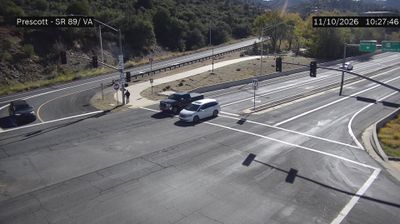

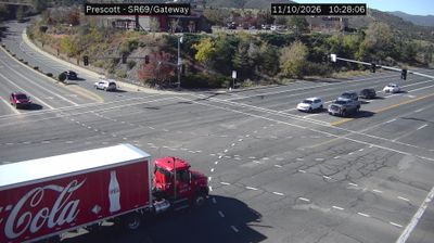


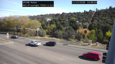

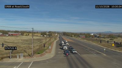
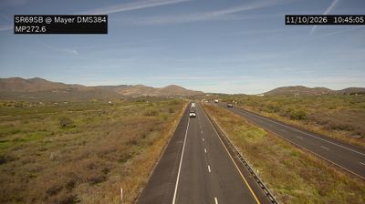


Tucked along Granite Creek in central Arizona, Whipple is a place whose character is shaped by the dry, pine-studded high country around Prescott. This small Prescott-area community is associated with Fort Whipple, a U.S. Army post established in 1863 as Arizona Territory was being formed. Its historic grounds later became part of the Northern Arizona VA Health Care System, while Fort Whipple National Cemetery remains an important memorial site. The nearby Bradshaw Mountains and Prescott National Forest place Whipple within a setting of granite outcrops, woodland, and distinct seasons. Find related webcams in the surrounding area to build a fuller picture of Whipple and Prescott’s high country.
1 webcam
Arizona is renowned in the United States for the Grand Canyon, carved by the Colorado River in the state’s north. Its terrain extends from the Sonoran Desert, where saguaro cacti define the south, to ponderosa pine forests and the high plateaus of the Colorado Plateau. The red-rock country around Sedona and the sandstone buttes of Monument Valley are enduring symbols of the American Southwest. Indigenous heritage remains central: Arizona is home to 22 federally recognized tribes, including the Navajo Nation and Hopi Tribe. Historic Route 66 also passes through northern communities such as Flagstaff and Kingman. Discover other points of interest through webcams located across Arizona.
652 webcams
The Atlantic, Pacific and Gulf coasts define much of the United States — their ports, fisheries and trade routes have long tied the country’s economy to the wider world. Between them, the Rocky Mountains, Great Plains and Mississippi River basin form sharply different regions, from high western ranges to broad agricultural heartlands. Cities carry much of the national story: New York’s Statue of Liberty, a gift from France dedicated in 1886, remains an enduring symbol, while Washington, DC concentrates major federal institutions. Indigenous nations have shaped these lands for millennia, and their living cultures remain essential to the country’s identity. Find related webcams in the surrounding areas to build a fuller picture of the United States.
32K webcams