 Westwood: I-95: I-95-NB-MM28.6 - past Ex 28 East St: SOUTH
Westwood sits on the wooded inland plain of Norfolk County in Massachusetts, where Interstate 95 crosses a suburban landscape of neighborhoods, offices and conservation land. Part of the town lies in the Neponset River watershed, while the road network places it within the wider Greater Boston area. Westwood was incorporated in 1897 after separating from Dedham, a much older settlement to the north. Its character remains more residential than urban, but the I-95/Route 128 corridor has made it a practical location for regional businesses and commuters. The town centre around High Street retains civic buildings and local services, while surrounding woodland underlines its New England setting.
Generated by AI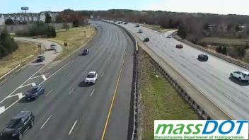

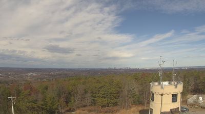
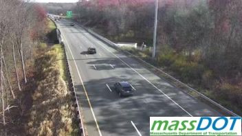

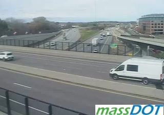

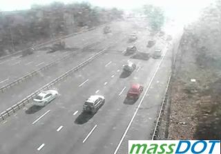



Few communities in Massachusetts have a history as closely tied to their separation from Dedham as Westwood. Incorporated in 1897, the town was formed from what had been known as West Dedham. Set in the Neponset River basin southwest of Boston, Westwood is largely residential, with wooded open spaces contrasting with the commercial Route 1 corridor. Route 128 station connects the town with Boston on MBTA commuter rail and Amtrak services, while University Station has introduced a newer mixed-use district nearby. Continue with other webcams from the area to see how this part of Massachusetts connects regionally.
1 webcam
Massachusetts has served as a colonial heartland within New England since the 17th century. Its terrain extends from the Atlantic coastline of Cape Cod and the islands to the Berkshire Hills in the west, while the Connecticut River runs through broad valley country in the state’s western interior. Boston, the capital, preserves major sites associated with the American Revolution, including the Old State House and the Freedom Trail. Cambridge adds another academic chapter through Harvard University, founded in 1636. Coastal ports, former mill cities and rural inland communities give the state sharply varied local character. Move on to other webcams in the region to compare landscapes and settings around Massachusetts.
202 webcams
The Atlantic, Pacific and Gulf coasts define much of the United States — their ports, fisheries and trade routes have long tied the country’s economy to the wider world. Between them, the Rocky Mountains, Great Plains and Mississippi River basin form sharply different regions, from high western ranges to broad agricultural heartlands. Cities carry much of the national story: New York’s Statue of Liberty, a gift from France dedicated in 1886, remains an enduring symbol, while Washington, DC concentrates major federal institutions. Indigenous nations have shaped these lands for millennia, and their living cultures remain essential to the country’s identity. Find related webcams in the surrounding areas to build a fuller picture of the United States.
32K webcams