 Westendorf: Alpenrosenbahn Bergstation - Alpinolino Westendorf

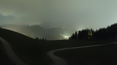
Alpenrosenbahn mountain station lies along the high slopes above the Brixental valley, where open alpine pasture meets the conifer-covered Kitzbühel Alps. It is a principal upland point for Westendorf and part of SkiWelt Wilder Kaiser–Brixental, the interconnected lift and piste network shared by several Tyrolean resorts. Alpinolino Westendorf is a family-oriented alpine discovery area, using themed routes and play stations to introduce children to the mountain environment. Beyond the developed lift area, paths cross grazing ground and woodland, reflecting the long-standing use of these slopes for Alpine farming. Westendorf below remains a Tyrolean village whose tourism economy is closely tied to this mountain terrain.
Generated by AI
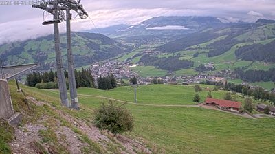


Gemeinde Westendorf lies in Tyrol’s Brixental valley, where the Brixentaler Ache runs between the rounded, grass-covered slopes of the Kitzbühel Alps. It is a working alpine community and an established base for hiking, cycling and winter sports. Westendorf is connected to SkiWelt Wilder Kaiser–Brixental, one of Austria’s major linked ski areas, while paths cross the surrounding pasture country in warmer months. The parish church of St Nicholas forms a focal point in the village centre, and local inns continue the region’s mountain hospitality traditions. Explore nearby webcam locations that provide complementary perspectives on Westendorf and the Brixental.
2 webcams
Tyrol combines an energetic alpine identity with an established urban culture in a way that reflects its position within the central Eastern Alps. Innsbruck, the regional capital on the River Inn, lies beneath the Nordkette range and brings imperial-era architecture into close contact with high mountain terrain. Its Golden Roof remains one of the city’s best-known historic landmarks, while the surrounding valleys connect settlements, ski areas and hiking country across the region. Continue through nearby webcams to explore different parts of Tyrol.
326 webcams
Austria stretches from the Bohemian Massif along its northern edge to the Carnic Alps on the Italian border, encompassing high Alpine ranges and the Danube lowlands. The Danube links cities including Linz and Vienna, while the Grossglockner, at 3,798 metres, is the country’s highest mountain. Vienna developed for centuries as the seat of the Habsburg court, leaving imperial architecture around the Hofburg and Schönbrunn Palace. Salzburg is closely associated with Wolfgang Amadeus Mozart, who was born there in 1756. Alpine Tyrol, wine-growing areas east of Vienna and the lakes of Salzkammergut add markedly different regional identities. Browse other webcams across Austria to place this setting in a wider geographic context.
2.3K webcams