 Weathersfield: I-91 South
Built around scattered agricultural settlements along the Connecticut River, Weathersfield grew into a rural Vermont town. Chartered in 1761, it extends from river-bottom land on the New Hampshire border into the wooded hills of Windsor County. Interstate 91 crosses the town, making Weathersfield part of the main route through the Connecticut River Valley rather than a compact urban centre. Its hamlets, including Weathersfield Bow and Perkinsville, reflect the dispersed settlement pattern common in this part of New England. Forested slopes, working land and local roads define a landscape shaped by the river valley and long-established farming. The town’s identity remains tied to small settlements rather than one dense downtown.
Generated by AI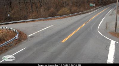
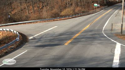
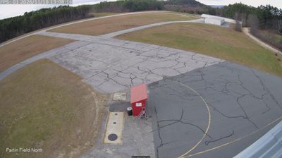


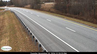
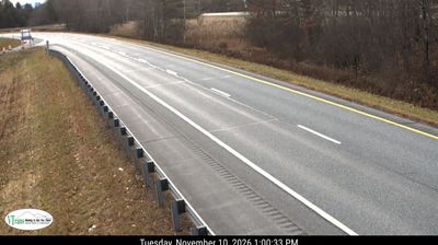

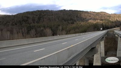
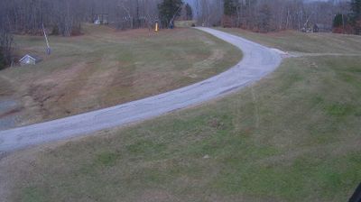

Weathersfield combines the quiet of dispersed Vermont hamlets with the broad setting of the Connecticut River valley in a way that reflects its position on the state's eastern border. The Connecticut River marks the town's eastern side, while wooded hills, farms and small settlements extend westward across Windsor County. Chartered in 1761, Weathersfield grew from an agricultural community and still includes the distinct settlements of Perkinsville, Ascutney and Weathersfield Center. Its local character is defined less by a single downtown than by roads linking homes, fields, woodlots and village clusters. Browse additional webcams from the surrounding area to extend your view of the Connecticut River valley.
1 webcam
Vermont is best known in the United States for the Green Mountains, the north–south range that gives the state its defining wooded backbone. These coordinates lie in north-central Vermont, where rolling uplands and narrow valleys lead toward the Lamoille River. Mount Mansfield, rising to 4,393 feet (1,339 metres), is the state’s highest peak and stands farther west in the same mountain region. Lake Champlain forms much of Vermont’s western edge, while the Connecticut River traces its border with New Hampshire. Maple sugaring is a defining seasonal tradition, and Vermont is the nation’s leading maple-syrup producer. Explore nearby places to better understand how north-central Vermont relates to the Green Mountains, river valleys and Lake Champlain.
196 webcams
The Atlantic, Pacific and Gulf coasts define much of the United States — their ports, fisheries and trade routes have long tied the country’s economy to the wider world. Between them, the Rocky Mountains, Great Plains and Mississippi River basin form sharply different regions, from high western ranges to broad agricultural heartlands. Cities carry much of the national story: New York’s Statue of Liberty, a gift from France dedicated in 1886, remains an enduring symbol, while Washington, DC concentrates major federal institutions. Indigenous nations have shaped these lands for millennia, and their living cultures remain essential to the country’s identity. Find related webcams in the surrounding areas to build a fuller picture of the United States.
32K webcams