 Waimes: High Fens
Few places in Wallonia have a history as closely bound to peatlands as the High Fens. This broad upland on Belgium’s eastern border forms the western section of the Hautes Fagnes–Eifel Nature Park, shared with Germany. Its bogs, wet heaths and conifer-fringed woodland are shaped by a waterlogged plateau rather than dramatic relief. Mont Rigi lies within this protected moorland near Waimes and is a starting point for marked routes across the area. The Hautes Fagnes Nature Reserve, established in 1957, protects vulnerable peat habitats; raised boardwalks help keep visitors off the most sensitive ground. Signal de Botrange, Belgium’s highest point, is also part of this upland area.
Generated by AI




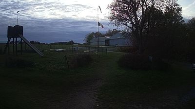

Built around a historic settlement on the Hautes Fagnes plateau, Waimes grew into a rural municipality in eastern Wallonia. Its territory includes Signal de Botrange, at 694 metres Belgium’s highest point, amid the peatlands, heath and woodland of the High Fens. Near Robertville, the Warche is dammed to create Lake Robertville, while the medieval-style Reinhardstein Castle stands above the valley. Waimes was part of the Prussian district of Malmedy until the area became Belgian after the First World War; it remains a French-speaking municipality with facilities for German speakers. Explore other webcams nearby to discover how eastern Wallonia connects with the Ardennes and Belgium’s German-speaking borderlands.
4 webcams
Among Belgium’s regions, Wallonia stands out for its French-speaking identity and the Meuse and Sambre valleys that helped shape the country’s industrial age. The Meuse runs through a chain of historic towns, including Namur, where the Sambre joins it beneath the city’s citadel, and Dinant, the birthplace of saxophone inventor Adolphe Sax. South and east, the terrain rises into the Ardennes, with forests, river valleys and smaller settlements replacing the denser urban belt. Wallonia’s towns still reflect long traditions of mining, metalworking and river trade, while abbey brewing remains part of the regional culture. Browse additional webcams from the surrounding area to extend your view of Wallonia.
46 webcams
Belgium occupies a low-lying North Sea coastline and river plain in northwestern Europe. Dutch-speaking Flanders lies largely to the north, while French-speaking Wallonia reaches south towards the wooded Ardennes; Brussels is officially bilingual. The Scheldt and Meuse have long connected Belgian cities with the North Sea and continental Europe. Brussels’ Grand-Place, framed by ornate guildhalls and the Town Hall, is a UNESCO World Heritage site. Medieval Bruges retains canals and merchant architecture, while Antwerp remains a major port on the Scheldt. Belgian beer culture is recognised by UNESCO as intangible cultural heritage. See how Belgium connects with the North Sea coast and neighbouring regions by browsing webcams nearby.
98 webcams