 Wailea
Few places on Maui have a history as closely tied to Hawaiian royal retreats as Wailea. On the island’s southwestern shore, this planned resort district extends across low volcanic slopes above the Pacific Ocean, where golf courses, hotels and residential neighborhoods share a carefully landscaped coast. Wailea’s name is commonly translated as “waters of sacred happiness,” preserving a connection to the Hawaiian language and the area’s older cultural associations. Several public beaches line the shore, while the open ocean reaches toward smaller islands west of Maui. Golf is central to the local layout: fairways run through palms and lava-rock terrain from the inland slopes toward the coast. Wailea represents a distinctly resort-oriented side of South Maui, still shaped by the ocean and the island’s volcanic origins.
Generated by AI
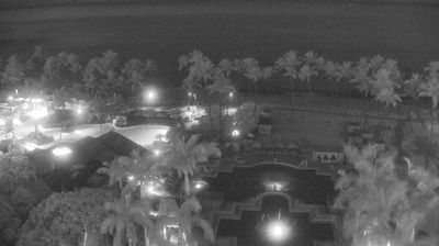
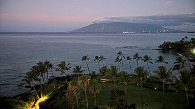

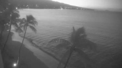
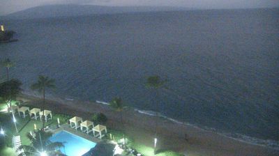
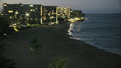

Wailea is best known within Hawaii for its oceanfront resort district and chain of public beaches on Maui’s south coast. Set on the Pacific Ocean below the slopes of Haleakalā, it forms part of the island’s dry leeward shoreline, where lava-rock headlands alternate with sandy coves. The Wailea Coastal Walk follows several shorefronts, linking resorts with beach access and open-water outlooks. South of town, Mākena State Park protects a broader stretch of coast, while Kihei lies to the north. Developed as a planned resort community in the late 20th century, Wailea is now a well-established base for exploring this side of Maui. See how Wailea fits into Maui’s south coast by browsing webcams nearby.
3 webcams
Among the regions of the United States, Hawaii stands out for its remote Pacific setting and chain of volcanic islands. These islands rise from the central Pacific Ocean, where trade winds, lava-shaped coasts and tropical vegetation create sharply varied environments. The coordinates lie on Oahu, home to Honolulu, the state capital and its principal urban centre. Oahu also contains Pearl Harbor, a naval base associated with the 1941 attack that brought the United States into the Second World War. Beaches, ridges and densely settled coastal districts sit close together here. Move on to other webcams in the region to compare landscapes and settings around the Hawaiian Islands.
34 webcams
The Atlantic, Pacific and Gulf coasts define much of the United States — their ports, fisheries and trade routes have long tied the country’s economy to the wider world. Between them, the Rocky Mountains, Great Plains and Mississippi River basin form sharply different regions, from high western ranges to broad agricultural heartlands. Cities carry much of the national story: New York’s Statue of Liberty, a gift from France dedicated in 1886, remains an enduring symbol, while Washington, DC concentrates major federal institutions. Indigenous nations have shaped these lands for millennia, and their living cultures remain essential to the country’s identity. Find related webcams in the surrounding areas to build a fuller picture of the United States.
32K webcams