 Vladivostok
The landscape around Vladivostok is a steep, indented Sea of Japan coastline, which has shaped both the built environment and local life. Built across hills and peninsulas in Primorsky Krai, the city centres on Golden Horn Bay, a sheltered inlet that has long supported its port and naval role. Vladivostok was founded in 1860 as a Russian military outpost and later became the eastern terminus of the Trans-Siberian Railway. Its streets negotiate sharp changes in elevation between densely built neighbourhoods, industrial waterfronts and wooded slopes. The Russky Bridge, opened in 2012, spans the Eastern Bosphorus Strait to Russky Island, underlining the city’s connection to the wider waters of Peter the Great Gulf.
Generated by AI
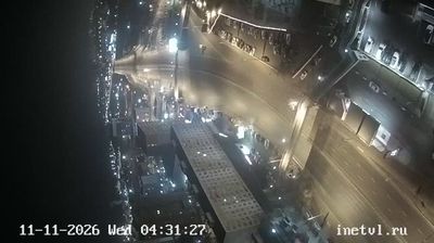
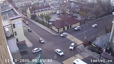


Vladivostok has served as a Russian Pacific port in Primorsky Krai since 1860. Built across hills and peninsulas beside Golden Horn Bay, it faces the Sea of Japan and the broad waters of Peter the Great Gulf. The city is the eastern terminus of the Trans-Siberian Railway, a role that has long connected European Russia with the Pacific. Its urban profile includes the cable-stayed Russky Bridge, opened in 2012, linking the mainland to Russky Island across Eastern Bosphorus Strait. Maritime traffic, university life and the Pacific Fleet give the streets a distinctly seaward character. Browse additional webcams from the surrounding area to extend your view of Vladivostok and Primorsky Krai.
5 webcams
Primorsky Krai has served as Russia’s Pacific frontier within the Russian Far East since the Soviet-era creation of the krai in 1938. Its terrain rises from the Sea of Japan coast into the forested Sikhote-Alin range, while the Ussuri River and Lake Khanka shape much of its western borderland. Vladivostok, the regional capital, is Russia’s principal Pacific port and the eastern terminus of the Trans-Siberian Railway. The region’s position between Siberia, China, Korea and the Pacific gives it a distinctly outward-looking character. Continue with other webcams from Primorsky Krai to see how this part of the Russian Far East connects regionally.
9 webcams
Russia has served as a major power between Europe and Asia since the 16th century. Its territory crosses eleven time zones, extending from the Baltic coast and the East European Plain over the Ural Mountains to the Pacific. The Volga, Europe’s longest river, runs through a core of historic Russian settlement, while Lake Baikal in Siberia is the world’s deepest lake. Moscow’s Kremlin and Red Square stand at the centre of the capital’s political and architectural heritage; Saint Petersburg’s Hermitage Museum occupies the Winter Palace. Orthodox churches, Russian-language literature, ballet and long-distance rail travel remain familiar reference points in a country of immense regional contrasts. Continue with other webcams from Russia to see how this part of northern Eurasia connects regionally.
457 webcams