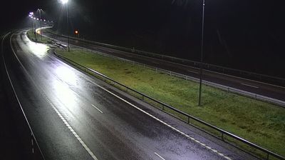
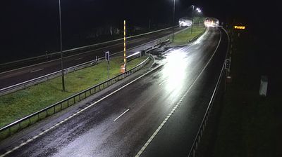
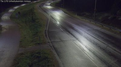
 Virolahti: Tie 7 - Vaalimaan tunneli, länsi - null
The landscape around Virolahti is low and heavily forested, which has shaped both the built environment and local life. This municipality in south-eastern Finland reaches the Gulf of Finland and lies close to the Russian frontier, where the Vaalimaa border crossing has long made the area an important overland link between Finland and Russia. National Road 7, part of the European E18 route, follows this coastal region, connecting Hamina with the border. Inland, conifer woods, rocky ground and scattered farms create a sparse settlement pattern typical of Kymenlaakso. Virolahti also preserves sections of the Salpa Line, Finland’s Second World War-era defensive fortification system, including the local Bunker Museum.
Generated by AI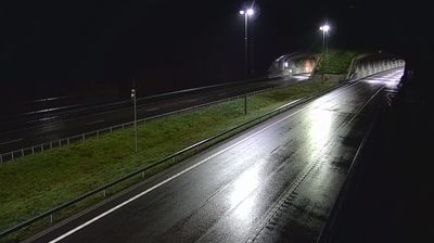


Few places in Mainland Finland have a history as closely tied to Finland’s eastern border as Virolahti. The municipality extends from the Gulf of Finland coast to the Russian frontier, placing it on one of the country’s principal eastern approaches. The Salpa Line, Finland’s Second World War defensive fortification system, runs through this borderland; Virolahti Bunker Museum preserves bunkers and related structures from the line. Coastal waters, islands and wooded inland terrain give the area a distinctly southeastern Finnish character, while the Vaalimaa border crossing has long connected Finland with Russia. Continue through nearby webcams to explore different parts of Virolahti and southeastern Finland.
12 webcams
Among Finland’s regions, Kymenlaakso stands out for the Kymi River’s branching course towards the Gulf of Finland. In the southeast, this waterway has long influenced settlement, industry and recreation, while the coast around Kotka brings harbours, islands and Baltic horizons into the region’s character. Inland, forest and lake country extends towards Kouvola. Near the city, the Verla Groundwood and Board Mill, a UNESCO World Heritage Site, preserves a remarkably complete 19th-century mill community and reflects the importance of wood processing in this part of Finland. Explore nearby webcam locations that provide complementary perspectives on Kymenlaakso’s river valleys and Baltic coast.
87 webcams
The terrain of Finland ranges from low coastal plains along the Gulf of Bothnia to fells in Lapland, creating a country of forests, lakes and long northern distances. More than 180,000 lakes shape everyday life, while the Lakeland region is threaded with waterways and islands. Helsinki, on the Gulf of Finland, combines neoclassical landmarks around Senate Square with contemporary Finnish design. Farther north, the Sámi are Finland’s only recognised Indigenous people, and their culture remains closely connected to the Arctic region. In winter, snow and ice transform the north; in summer, long daylight extends outdoor life well into the evening. Continue through nearby webcams to explore different parts of Finland.
1.7K webcams