 Villa La Angostura
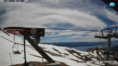
Cerro Bayo sits above the northern shore of Lake Nahuel Huapi in Argentina’s Neuquén Province, where wooded Andean slopes rise behind Villa La Angostura. This ski centre belongs to northern Patagonia’s lake district, a territory of glacial lakes and forests close to Nahuel Huapi National Park. Its pistes and lift network make the mountain a focal point for outdoor recreation, while the town below is known for low-rise timber-and-stone buildings that reflect the region’s mountain-resort character. Nearby, Los Arrayanes National Park protects a distinctive forest of cinnamon-barked arrayán trees on the Quetrihué Peninsula. Cerro Bayo brings alpine sport to a landscape shaped by the Andes and Lake Nahuel Huapi.
Generated by AI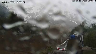

Villa La Angostura occupies a wooded lakeside setting on the northern shore of Nahuel Huapi Lake in Argentina’s Neuquén Province. Surrounded by the Patagonian Andes and neighbouring Nahuel Huapi National Park, the town is shaped by forests, clear water and the changeable conditions of the lake district. Correntoso Lake and the short Correntoso River are central features of the local geography. On the nearby Quetrihué Peninsula, Los Arrayanes National Park protects a notable woodland of cinnamon-coloured arrayán trees. Villa La Angostura is also linked to the Route of the Seven Lakes, which runs north toward San Martín de los Andes. Browse webcams nearby to see how Villa La Angostura fits within the wider Nahuel Huapi lake district.
2 webcams
The Andes and the dry Patagonian steppe define much of Neuquén Province — this west-to-east contrast supports mountain tourism, river-fed agriculture and a major energy economy. The Neuquén and Limay rivers cross the province’s eastern half and meet near the city of Neuquén to form the Río Negro. Farther west, Lanín National Park contains Lanín Volcano and forests of pehuén, or monkey-puzzle trees, closely associated with Mapuche culture. The Neuquén Basin also includes Vaca Muerta, a vast shale formation central to Argentina’s oil and gas industry. Towns range from Andean centres such as San Martín de los Andes to settlements serving the basin and irrigated valleys. Find related webcams across Neuquén Province to build a fuller picture of this Patagonian province.
8 webcams
Among the countries of South America, Argentina stands out for its immense span of landscapes, from the Andes to the Atlantic and the southern reaches of Patagonia. Aconcagua, in the province of Mendoza, rises to 6,961 metres and is the highest mountain outside Asia. To the north, Iguazú Falls thunder through subtropical forest on the border with Brazil, while the Pampas form a broad agricultural heartland. Buenos Aires is closely associated with tango, the music and dance tradition inscribed on UNESCO’s Intangible Cultural Heritage list. In the south, the glaciers and windswept steppe of Patagonia give the country a markedly different character. Explore nearby webcam locations that provide complementary perspectives on Argentina’s mountains, plains and coasts.
78 webcams