 Vidalia: Jackson Street - East 1st Street
Vidalia has served as a commercial and agricultural center in southeast Georgia since the early 20th century. East 1st Street and Jackson Street meet in the city's compact downtown, where low-rise business blocks reflect Vidalia's role as a local service center in Toombs County. The city stands on the Georgia Coastal Plain, a broad agricultural region of gently rolling land. Its name is inseparable from the Vidalia onion, a sweet onion produced within a state-defined growing area. The crop is celebrated each year at the Vidalia Onion Festival, while downtown retains the practical scale of a community built around local trade and farming.
Generated by AI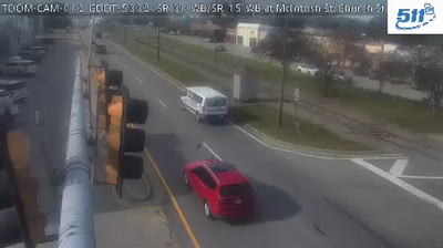
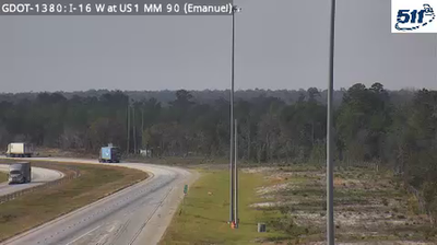
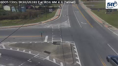

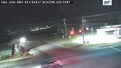
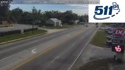
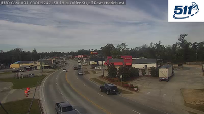
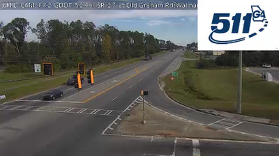
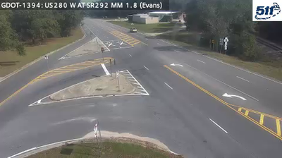
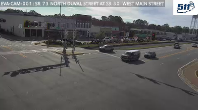

Vidalia occupies a low, level stretch of the Coastal Plain in southeastern Georgia. The city lies in Toombs County amid farm country that made the Vidalia onion a recognized American food name. This notably mild sweet onion is grown within a state-defined production area, and Vidalia celebrates it each spring with the Vidalia Onion Festival. Agriculture still shapes the local economy and identity, while the flat terrain reflects Georgia’s broad coastal lowlands. Browse additional webcams nearby to see how Vidalia relates to southeastern Georgia’s wider surroundings.
2 webcams
The terrain of Georgia ranges from the Blue Ridge Mountains in the north to the low, sandy Atlantic Coastal Plain in the south and east, creating a state of sharply varied landscapes. The Chattahoochee River follows much of the Alabama border, while the Savannah River forms much of the boundary with South Carolina before reaching the Atlantic. Atlanta is closely linked to the US civil rights movement and includes the Martin Luther King Jr. National Historical Park. On the coast, barrier islands and salt marshes frame Savannah, whose historic district is recognised for its network of public squares. Explore related webcams in the surrounding area to build a fuller picture of Georgia.
2.9K webcams
The Atlantic, Pacific and Gulf coasts define much of the United States — their ports, fisheries and trade routes have long tied the country’s economy to the wider world. Between them, the Rocky Mountains, Great Plains and Mississippi River basin form sharply different regions, from high western ranges to broad agricultural heartlands. Cities carry much of the national story: New York’s Statue of Liberty, a gift from France dedicated in 1886, remains an enduring symbol, while Washington, DC concentrates major federal institutions. Indigenous nations have shaped these lands for millennia, and their living cultures remain essential to the country’s identity. Find related webcams in the surrounding areas to build a fuller picture of the United States.
32K webcams