 Verdalsøra: Verdal
The landscape around Verdalsøra is low-lying, with the Verdalselva crossing the settlement on its way to the Trondheimsfjord, which has shaped both the built environment and local life. Verdalsøra is the administrative centre of Verdal municipality in Trøndelag, where residential neighbourhoods, services and business areas extend across the river plain. The E6, Norway’s principal north–south road, passes through this part of the town on the route towards Steinkjer. Verdal is closely associated with Stiklestad, the site of the Battle of Stiklestad in 1030, a defining event in Norway’s Christianisation and national history. The town combines its role as a local service centre with transport links across central Norway.
Generated by AI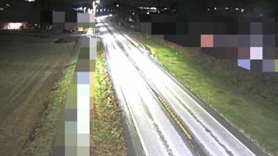
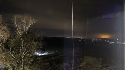
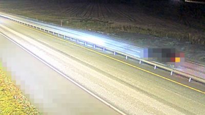
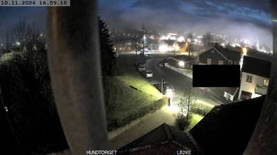
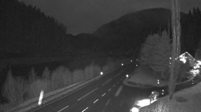

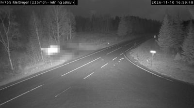
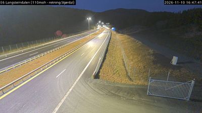

Verdalsøra has served as a commercial centre in Trøndelag since the 19th century. The town stands where the Verdalselva reaches the Trondheimsfjord, a broad waterway linking this part of central Norway with Trondheim and the coast. Verdal municipality is closely associated with Stiklestad, the site of the Battle of Stiklestad in 1030, where King Olaf II was killed; the event remains central to Norwegian historical memory. Stiklestad National Cultural Centre continues that legacy through exhibitions and annual Olsok events. Rail and road connections make Verdalsøra a practical base for exploring the fjord district and inland Trøndelag. Explore nearby webcam locations that provide complementary perspectives on Verdalsøra and Trøndelag.
2 webcams
Trøndelag occupies a broad coastal and inland region in central Norway. Trondheim Fjord reaches deep into the land, linking farming districts, wooded hills and settlements around Trondheim, the region’s historic and cultural centre. The city was an important medieval pilgrimage destination and is home to Nidaros Cathedral, Norway’s national sanctuary and one of the country’s foremost Gothic monuments. Farther inland, valleys and upland areas lead towards the Scandinavian Mountains, while the coast breaks into islands, channels and sheltered bays. Browse other webcams across Trøndelag to place this central Norwegian setting in a wider geographic context.
117 webcams
Norway has served as a seafaring link between the North Atlantic and northern Europe since the Viking Age. Its long coastline is cut by fjords, while the Lofoten archipelago rises sharply from the Norwegian Sea and the mountains of Jotunheimen include Galdhøpiggen, Norway’s highest peak. Bergen’s Bryggen, the former Hanseatic wharf, recalls centuries of maritime trade. Farther north, Sámi culture remains an essential part of the country’s identity. Explore nearby webcam locations that provide complementary perspectives on Norway’s coast, fjords and mountain regions.
1.5K webcams