 Verchaix: Télésiège de Chamossière
The landscape around the Télésiège de Chamossière is a high-Alpine mix of open slopes and rocky ridges, which has shaped both the built environment and local life. The chairlift stands in the Grand Massif, the extensive ski domain shared by Flaine, Les Carroz, Morillon, Samoëns and Sixt. Its upper terrain belongs to the broad mountain amphitheatre above the Giffre valley, a setting of pastureland, forests and summits rather than a dense resort town. Verchaix lies lower in the valley in Haute-Savoie. Long before lifts brought winter sports to these slopes, seasonal grazing helped organise the use of Alpine meadows; that pastoral inheritance remains part of the region’s identity. Chamossière gives the Verchaix area a distinctly high-mountain scale.
Generated by AI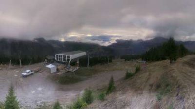
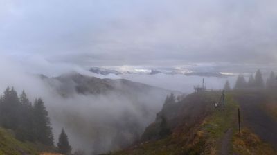

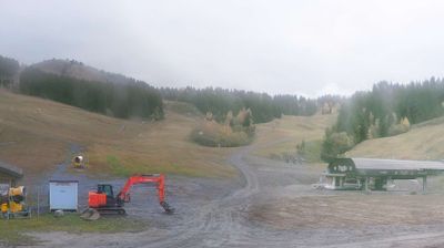
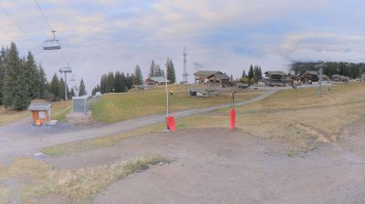
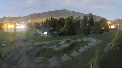


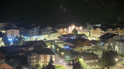
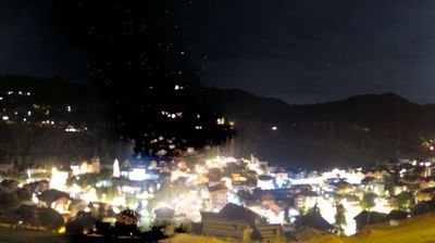

The Giffre River defines the setting of Verchaix — the village lies in a broad Alpine valley beneath slopes leading toward the Grand Massif, where forest, pasture and mountain tourism meet. In Haute-Savoie, Verchaix is close to Morillon and Samoëns, placing it within one of the northern French Alps’ established skiing and walking areas. Traditional Savoyard rural architecture and open meadows maintain an agricultural presence alongside the region’s winter-sports infrastructure. Summer brings hikers and cyclists to the valley, while the higher ground connects to the wider Grand Massif ski domain. Browse additional webcams from the Giffre valley to extend your view of Haute-Savoie.
2 webcams
Auvergne-Rhône-Alpes is widely known in France for the French Alps, the major mountain chain along its eastern edge. This vast administrative region also extends west across the Massif Central and follows the Rhône valley, bringing together volcanic uplands, river corridors and major cities. Lyon, the regional capital, stands between the Rhône and Saône, and its historic centre is inscribed on UNESCO’s World Heritage List. Near these coordinates, northern Ardèche lies close to the wooded hills of the Pilat area, where the Rhône corridor forms a transition between upland country and valley settlements. Alpine cheeses and Rhône valley wines reflect the region’s varied terrain. Browse additional webcams from the surrounding area to extend your view of Auvergne-Rhône-Alpes.
765 webcams
The Atlantic and Mediterranean coastlines, together with the Alps, Pyrenees and broad river basins, define much of France — they support maritime trade, farming, wine regions and travel throughout the year. The Seine runs through Paris, where the Eiffel Tower and the Louvre are among Europe’s most recognised landmarks. The Loire Valley is known for Renaissance châteaux, while Mont-Saint-Michel rises from a tidal bay in Normandy. Regional food traditions are equally distinctive, from Breton seafood to Provençal cooking, with bread, cheese and wine central to everyday life. France’s global cultural influence is evident in its language, literature, fashion and cinema. View additional webcams nearby to better understand how France’s coasts, plains and mountain borders relate to their surroundings.
2.2K webcams