 Veliki Vrh pri Šmarju: A2/E70, Karavanke - Obrežje, predor Debeli hrib
Veliki Vrh pri Šmarju is best known in Slovenia for its position beside the Debeli hrib tunnel on the A2 motorway. This rural settlement lies in the rolling, wooded terrain of Lower Carniola, southeast of Ljubljana, where the motorway crosses a belt of low hills rather than an urban centre. The paired tunnel portals and divided carriageways belong to the national route linking Ljubljana with Novo Mesto and the Croatian border. Managed by DARS, Slovenia’s motorway company, this section forms part of an important road connection towards the Balkans. The wider Grosuplje area also follows a Roman-era route between Emona, today’s Ljubljana, and Neviodunum near Drnovo.
Generated by AI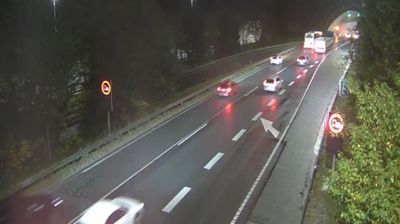
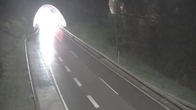
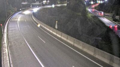


Few settlements in the Grosuplje administrative area have a history as closely tied to the rural life of Lower Carniola as Veliki Vrh pri Šmarju. This small settlement lies on the southeastern side of the wider Ljubljana Basin, where fields and woodland meet gently rising terrain. It belongs to the Municipality of Grosuplje and to Lower Carniola, one of Slovenia’s traditional historical regions. Its Slovene name, meaning “Great Peak near Šmarje,” reflects the region’s close connection between settlement names and local terrain. Continue through nearby webcams to explore different parts of the Grosuplje area.
2 webcams
The terrain of Upravna Enota Grosuplje ranges from karst poljes in its southern reaches to wooded hills around Grosuplje in the north, creating a varied setting of open basins, farmland and forest. This central Slovenian administrative area includes Grosuplje, Ivančna Gorica and Dobrepolje, south-east of Ljubljana. The Krka River rises near the village of Krka, while Radensko Polje is known for its seasonal karst waters. Stična Abbey, founded in 1136, is Slovenia’s oldest monastery and an enduring cultural landmark. Move on to other webcams in the region to compare landscapes and settings around Upravna Enota Grosuplje.
6 webcams
Slovenia occupies a meeting point of the Alps, the Pannonian Plain, the Dinaric mountains and the Adriatic coast in south-central Europe. The Julian Alps rise in the northwest, where Triglav is the country’s highest mountain, while the Soča River is known for its clear turquoise water. Karst terrain has shaped caves such as Postojna Cave and the Škocjan Caves, a UNESCO World Heritage site. Ljubljana combines a riverside old town with works by architect Jože Plečnik; farther east, wine-growing regions and thermal springs add another dimension. Slovenian food reflects Alpine, Mediterranean and Balkan influences. Find related webcams in the surrounding area to build a fuller picture of Slovenia and the northern Adriatic.
768 webcams