 Veigastaðir: Vaðlaheiðargöng - vestur
Eyjafjörður defines the setting of Veigastaðir — this long northern fjord presses Route 1 between its shoreline and the slopes of Vaðlaheiði. The locality stands at the western entrance to Vaðlaheiðargöng, a road tunnel beneath the mountain that opened in 2018. It created a direct link between Akureyri and the northeast, bypassing the former mountain route over Víkurskarð. Across the fjord lies Akureyri, North Iceland’s principal urban centre, whose harbour and university give the town a regional role. The landmark Akureyrarkirkja church rises above its centre. Veigastaðir is defined by the fjordside transport corridor and the steep terrain directing it, rather than by dense settlement.
Generated by AI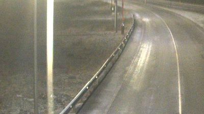
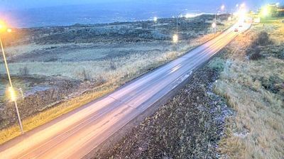

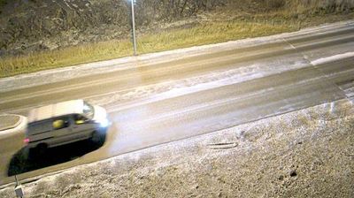
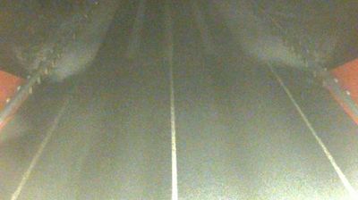




Veigastaðir lies on the eastern side of Eyjafjörður in Iceland’s Northeastern Region, and its position links rural surroundings with nearby Akureyri, northern Iceland’s main urban centre. The fjord reaches far inland from the north coast, with broad valleys and mountain slopes defining the wider district. Akureyri provides a cultural counterpoint through landmarks such as Akureyrarkirkja and the Akureyri Botanical Garden. Local roads follow the fjord and connect small communities with the town’s services, shops and harbour. Discover other points of interest through webcams located across Iceland’s Northeastern Region.
3 webcams
Northeastern Region combines restless volcanic terrain with sparsely settled farmland in a way that reflects its position within Iceland’s geologically active north. Around Lake Mývatn, lava fields, wetlands and geothermal ground lie close together, creating one of the country’s most distinctive inland environments. The Skútustaðagígar pseudocraters and the dark lava formations of Dimmuborgir trace the area’s volcanic origins, while the Krafla system and Námafjall geothermal area show its continuing activity. At Grenjaðarstaður, a preserved turf farm recalls the building traditions of rural Iceland. Browse additional webcams nearby to see how the Mývatn district connects to northeastern Iceland’s volcanic interior.
75 webcams
Iceland occupies a volcanic North Atlantic island on the Mid-Atlantic Ridge, between Europe and North America. Glaciers, black-sand shores and active geothermal areas form a terrain in constant dialogue with the weather; Vatnajökull is Europe’s largest glacier by volume. The Golden Circle links Þingvellir National Park, the Geysir geothermal area and Gullfoss waterfall, while Reykjavík concentrates much of the country’s contemporary culture and design. At Þingvellir, the Alþingi first assembled in 930. Fishing, wool knitwear and geothermal energy remain central to Icelandic life. Find related webcams in the surrounding area to build a fuller picture of Iceland.
628 webcams