 Val-de-Ruz: Tete de Ran
Tête de Ran straddles a Jura ridge in the canton of Neuchâtel, where its position links the Val-de-Ruz basin with the upland route toward La Chaux-de-Fonds. The surrounding folds of the Jura combine grazing land, scattered farmsteads and woodland rather than high Alpine relief. Walking and cycling routes follow this open ridge country, while local roads tie the rural heights to Neuchâtel’s towns. On the ridge’s northern side, La Chaux-de-Fonds shares a UNESCO World Heritage listing with Le Locle for its distinctive watchmaking town planning. The broad, working crest reflects the Swiss Jura’s long-established pastoral economy.
Generated by AI



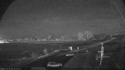
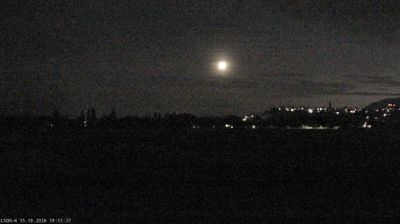

Val-de-Ruz has served as a unified municipality in the canton of Neuchâtel since 2013, when fifteen former communes joined to form a single administration. It occupies the broad Val de Ruz basin in the Swiss Jura, where the Seyon River runs south toward Lake Neuchâtel. Cernier, one of the municipality’s principal settlements, is home to Evologia, a public site focused on biodiversity, agriculture and sustainable development. Farms, forest margins and dispersed villages give this part of French-speaking Switzerland a distinctly rural character, while the city of Neuchâtel remains close by. Browse additional webcams from the surrounding Jura and Neuchâtel canton to extend your view of Val-de-Ruz.
1 webcam
Among the regions of Switzerland, Neuchâtel stands out for its Jura watchmaking heritage and terrain that runs from high valleys to the shores of Lake Neuchâtel. The canton lies in western Switzerland, where folded Jura ridges frame forests, pastures and towns shaped by precision crafts. La Chaux-de-Fonds and Le Locle are jointly listed by UNESCO for their urban planning, designed around the needs of the watch industry. Neuchâtel, the cantonal capital, stands beside the lake and retains a medieval castle and collegiate church. View additional webcams nearby to better understand how Neuchâtel relates to the Swiss Jura and Lake Neuchâtel.
18 webcams
Switzerland stretches from the Jura Mountains in the northwest to the Alps in the south, encompassing a central plateau of cities, farms and lakes. The Rhine rises in the Swiss Alps, while Lake Geneva forms part of the country’s southwestern border. Zürich, Geneva and Basel are major urban centres, yet mountain railways and passes remain central to how many regions are experienced. Four national languages—German, French, Italian and Romansh—reflect Switzerland’s distinct cantonal identities. The Matterhorn above Zermatt is among Europe’s most recognisable peaks, and the 1291 Federal Charter is closely associated with the country’s founding tradition. Continue through nearby webcams to explore different parts of Switzerland.
1.5K webcams