 Vaala: Tie 22 - Kajaaniin
Few places in northern Finland have a history as closely tied to the waterways of Lake Oulujärvi as Vaala. The municipality occupies part of the lake’s shore; its outflow becomes the Oulujoki, which runs west to Oulu and the Gulf of Bothnia. Finland’s fifth-largest lake gives this largely forested area its scale, alongside peatlands and glacially formed ridges. Vaala lies on the road and railway corridor between Oulu and Kajaani, a practical connection across the region. The municipality adopted its present name in 1954, replacing Säräisniemi. Lake Oulujärvi and the surrounding esker terrain belong to Rokua UNESCO Global Geopark, where Ice Age processes remain legible in the landforms.
Generated by AI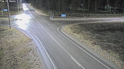
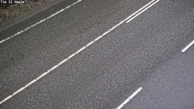
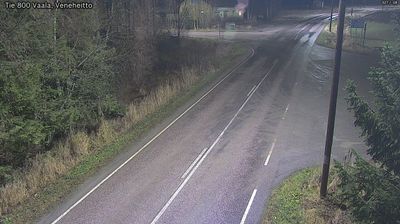
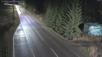
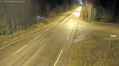
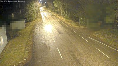

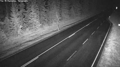

Few communities in mainland Finland have a history as closely tied to lake travel and tar transport as Vaala. Set where Lake Oulujärvi drains into the Oulujoki, the municipality is shaped by broad water, forests and the sandy ridges of the Rokua UNESCO Global Geopark. Manamansalo, an island in Lake Oulujärvi within Vaala’s boundaries, is a notable part of this lake district. Until 1954, the municipality was called Säräisniemi, reflecting an older local identity. The Oulu–Kontiomäki railway also passes through Vaala. Explore nearby webcam locations that provide complementary perspectives on Vaala, Lake Oulujärvi and the Oulujoki valley.
5 webcams
North Ostrobothnia stretches from the Gulf of Bothnia coast to forested uplands near Finland’s eastern border, encompassing low river plains, peatlands and northern boreal wilderness. The Oulujoki flows through the regional capital, Oulu, before reaching the sea; the city was founded in 1605 and remains an important centre for northern Finland. Inland, Kuusamo and the Ruka area bring a more rugged character, with extensive forests and a strong winter-sports tradition. Along the coast, open horizons and changing Baltic conditions shape daily life. Discover other points of interest through webcams located across North Ostrobothnia.
259 webcams
The terrain of Finland ranges from low coastal plains along the Gulf of Bothnia to fells in Lapland, creating a country of forests, lakes and long northern distances. More than 180,000 lakes shape everyday life, while the Lakeland region is threaded with waterways and islands. Helsinki, on the Gulf of Finland, combines neoclassical landmarks around Senate Square with contemporary Finnish design. Farther north, the Sámi are Finland’s only recognised Indigenous people, and their culture remains closely connected to the Arctic region. In winter, snow and ice transform the north; in summer, long daylight extends outdoor life well into the evening. Continue through nearby webcams to explore different parts of Finland.
1.7K webcams