 Ulsteinvik: Hareidseidet
The landscape around Ulsteinvik is low, wooded coastal terrain on the island of Hareidlandet, which has shaped both the built environment and local life. The town stands beside Ulsteinfjorden in Møre og Romsdal, where sheltered inlets have long supported seafaring connections. Ulsteinvik is the administrative centre of Ulstein municipality and a major maritime-industry community; Ulstein Verft, founded in 1917, is among its defining enterprises. County Road 61 runs across Hareidlandet towards Hareid, linking settlements on the island, while the Eiksund Tunnel connects the area with the mainland. Housing, workplaces and services lie between the shore and forested rises, giving this compact coastal town a distinctly maritime character.
Generated by AI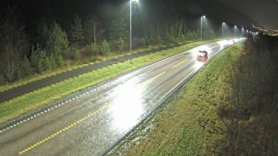

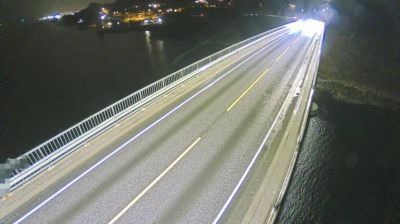
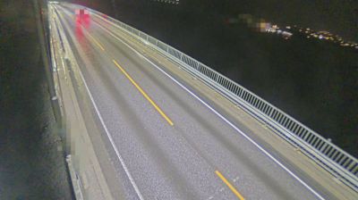


Ulsteinvik is best known within Møre og Romsdal for its maritime industry, closely associated with the Ulstein Group. Set on the island of Hareidlandet near Ulsteinfjorden, the town has long been oriented toward the Norwegian Sea and the working waters of Norway’s western coast. Ulstein’s origins reach back to a local shipyard founded in 1917, while its X-BOW bow design has become a recognisable feature of modern offshore vessels. This compact coastal centre remains shaped by ship design, engineering and seafaring traditions. Discover other points of interest through webcams located across Møre og Romsdal.
4 webcams
Møre og Romsdal has been a coastal crossroads in western Norway since the Viking Age. Stretching from the Norwegian Sea to deep fjords and rugged inland valleys, the county includes the UNESCO-listed Geirangerfjord and the dramatic Romsdalsfjord. Ålesund is known for its distinctive Art Nouveau townscape, rebuilt after the fire of 1904, while Molde faces a broad sweep of fjord and mountains. Fishing, shipbuilding and maritime travel remain central to local life, alongside farming in sheltered coastal and valley communities. The Atlantic Ocean Road is another defining route, linking islands and skerries along the exposed coast. Continue through nearby webcams to explore different parts of Møre og Romsdal.
128 webcams
Norway has served as a seafaring link between the North Atlantic and northern Europe since the Viking Age. Its long coastline is cut by fjords, while the Lofoten archipelago rises sharply from the Norwegian Sea and the mountains of Jotunheimen include Galdhøpiggen, Norway’s highest peak. Bergen’s Bryggen, the former Hanseatic wharf, recalls centuries of maritime trade. Farther north, Sámi culture remains an essential part of the country’s identity. Explore nearby webcam locations that provide complementary perspectives on Norway’s coast, fjords and mountain regions.
1.5K webcams