 Tsubata
 has served as a road junction in northern Ishikawa since the Edo period. National Route 8, the long highway linking Kyoto with Niigata, runs through the town, and Funahashi Junction forms part of its built-up roadside corridor of broad carriageways, ramps, homes, warehouses and cultivated plots. Tsubata lies between Kahoku Lagoon and the low hills marking the transition from the Kaga Plain toward the Noto Peninsula. Its older landscape is represented by Kurikara Pass, site of the 1183 Battle of Kurikara, where Minamoto no Yoshinaka defeated a Taira force. The junction belongs to a town shaped by through traffic as well as the agricultural edge of the Hokuriku region.
Generated by AI


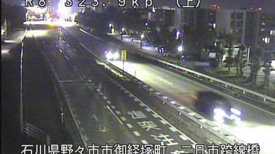
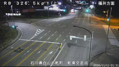


The landscape around Tsubata is a meeting of low-lying farmland and wooded hills, a setting that has shaped both the town’s settlement pattern and agricultural life. In northern Ishikawa Prefecture, Tsubata lies near Kahoku Lagoon, with rail and road routes connecting it to Kanazawa and the Noto Peninsula. Its best-known historical association is Kurikara Pass: the Battle of Kurikara in 1183, a major victory by Kiso Yoshinaka over the Taira clan, is traditionally linked to these hills. Temples, fields and residential neighbourhoods give the town a more everyday character than nearby Kanazawa. Continue with other webcams from Ishikawa Prefecture to see how this part of Japan’s Hokuriku region connects regionally.
2 webcams
Ishikawa Prefecture occupies the central Hokuriku coastline along the Sea of Japan in Japan. Its territory extends from Kanazawa’s urban plain to the long Noto Peninsula, where fishing ports and farming communities face the sea. Kanazawa developed under the Maeda clan and remains known for Kenrokuen Garden, one of Japan’s Three Great Gardens, as well as preserved samurai and teahouse districts. The prefecture’s craft traditions include Wajima lacquerware from Noto and Kutani porcelain. Seasonal seafood, notably crab in winter, is central to local cooking. Explore nearby webcam locations that reveal complementary perspectives on Ishikawa’s coast and cities.
30 webcams
Among the countries of East Asia, Japan stands out for its volcanic archipelago, stretching from the cool north of Hokkaido to subtropical Okinawa. Mount Fuji, the nation’s highest mountain, rises above central Honshu, while the Pacific Ocean and the Seto Inland Sea have long shaped settlement, fishing and travel. Tokyo pairs dense urban life with major museums and neighbourhood traditions; Kyoto preserves temples, gardens and the legacy of Japan’s imperial court. Seasonal customs give journeys a changing rhythm, from spring cherry blossom viewing to autumn leaves. Regional cooking is equally varied, with sushi, ramen and local specialties reflecting coastlines, climate and agriculture. Explore nearby webcam locations that provide complementary perspectives on Japan’s islands, cities and mountain regions.
1.3K webcams