 Trzin: G2-104, Črnuče - Domžale
Among the places of the Domžale Administrative Unit, Trzin stands out for its compact blend of an older settlement, a major business area and direct links between Ljubljana and Domžale. It lies on the Ljubljana Basin, a broad lowland beneath the Kamnik–Savinja Alps, where urban development meets fields and wooded slopes. Trzin developed from a rural community into two clearly defined parts: the historic residential core and an extensive commercial-industrial zone. This contrast gives the municipality a practical, working character while retaining a close connection to the open land around it. Trzin became an independent municipality in 1998, and its location on one of the main northern approaches to Ljubljana makes it part of the capital’s wider urban area without losing its own civic identity.
Generated by AI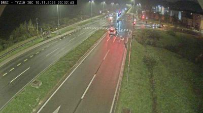
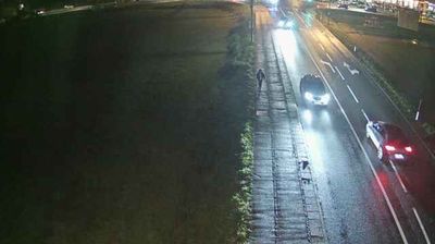
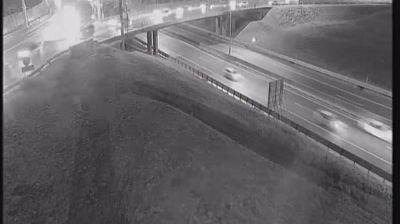

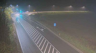
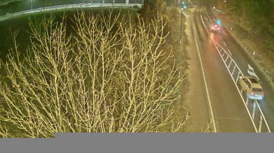
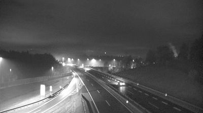
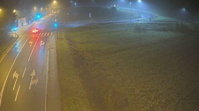


Trzin lies along the Pšata stream, where the flat Ljubljana Basin meets the lower ground leading towards the Kamnik–Savinja Alps. Though an independent municipality, it belongs to Ljubljana’s active northern urban belt, with railway and road connections shaping daily life. The older village centre includes the Church of St Florian, while the Trzin Industrial Craft Zone has made the town an important employment area for the Domžale district. Fields and wooded strips still interrupt the built-up plain, and the Alps provide a northern reference beyond the settlement. View additional webcams nearby to better understand how Trzin sits between Ljubljana and the Alpine foothills.
2 webcams
Upravna enota Domžale has served as a local administrative centre within Slovenia since the mid-1990s. It covers a developed stretch of central Slovenia north-east of Ljubljana, where the Kamniška Bistrica crosses a mosaic of settlements, fields and wooded foothills. Domžale is closely associated with straw-hat making, an industry that left a lasting mark on the town’s identity and is documented at its Straw Hat Museum. The area also includes Volčji Potok, known for the Arboretum Volčji Potok and its extensive parkland. Road and rail links place the district in Ljubljana’s wider urban orbit, while the Sava plain and the Kamnik–Savinja Alps remain close reference points. Discover how Upravna enota Domžale connects with central Slovenia by browsing webcams nearby.
14 webcams
Slovenia occupies a meeting point of the Alps, the Pannonian Plain, the Dinaric mountains and the Adriatic coast in south-central Europe. The Julian Alps rise in the northwest, where Triglav is the country’s highest mountain, while the Soča River is known for its clear turquoise water. Karst terrain has shaped caves such as Postojna Cave and the Škocjan Caves, a UNESCO World Heritage site. Ljubljana combines a riverside old town with works by architect Jože Plečnik; farther east, wine-growing regions and thermal springs add another dimension. Slovenian food reflects Alpine, Mediterranean and Balkan influences. Find related webcams in the surrounding area to build a fuller picture of Slovenia and the northern Adriatic.
782 webcams