 Town of Lucas: I-94 at County Q
The I-94 County Highway O interchange sits amid the farmland of St. Croix County, Wisconsin, where a major east–west interstate crosses a lightly settled part of the Upper Midwest. It is not in Fond du Lac, despite the supplied city label: these coordinates belong to western Wisconsin. Interstate 94 is an important route between the Twin Cities and Eau Claire, used by long-haul freight as well as regional traffic. Cultivated fields, drainage ditches and scattered tree lines define the working rural surroundings. St. Croix County takes its name from the St. Croix River, which forms part of Wisconsin’s border with Minnesota. County Highway O connects the freeway with the network of local agricultural roads.
Generated by AI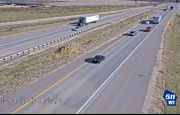
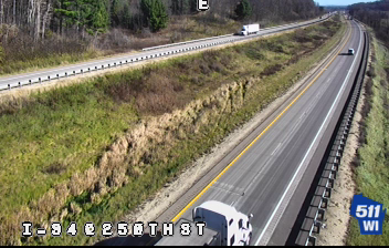
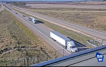
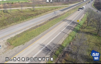
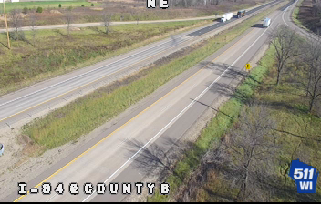
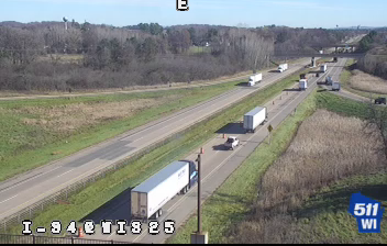



Few communities in western Wisconsin have a history as closely tied to farming as the Town of Lucas. In rural Dunn County, fields, woodlots and scattered homes occupy the rolling country of the Eau Galle River watershed, long used for dairy and crop production. The town belongs to the wider Chippewa Valley region, where local roads connect open farmland with communities including Menomonie. Lucas represents Wisconsin’s working interior, with the annual rhythm of planting, harvest and changing seasons still evident across the countryside. Browse additional webcams from Dunn County and the Eau Galle River country to extend your view of western Wisconsin.
3 webcams
Built around Great Lakes shipping, timber, and dairy farming, Wisconsin grew into a Midwestern state with a distinctive industrial and rural identity. Lake Michigan forms its eastern edge, while the Mississippi River marks much of the west; between them lie forests, farms, and thousands of inland lakes. Milwaukee, on Lake Michigan, developed as a major brewing centre, and the state’s dairy tradition remains central to its food culture. In the southwest, the Driftless Area escaped the flattening effects of the last continental glaciation, creating deeply cut river valleys and steep ridges. Find related webcams in the surrounding area to build a fuller picture of Wisconsin.
167 webcams
The Atlantic, Pacific and Gulf coasts define much of the United States — their ports, fisheries and trade routes have long tied the country’s economy to the wider world. Between them, the Rocky Mountains, Great Plains and Mississippi River basin form sharply different regions, from high western ranges to broad agricultural heartlands. Cities carry much of the national story: New York’s Statue of Liberty, a gift from France dedicated in 1886, remains an enduring symbol, while Washington, DC concentrates major federal institutions. Indigenous nations have shaped these lands for millennia, and their living cultures remain essential to the country’s identity. Find related webcams in the surrounding areas to build a fuller picture of the United States.
32K webcams