 Tonning: Tönninger Badestrand - Eider
Among the places of Schleswig-Holstein, Tönning stands out for its position on the tidal Eider, close to where the river reaches the North Sea. The town developed as a port on the Eider estuary, and its harbour remains central to its identity. Along the waterfront, the long brick Packhaus, built in 1783 as a warehouse, recalls the period when Tönning handled trade for the surrounding marsh country. The Eider forms a broad, low-lying waterside setting rather than a North Sea beachscape: the Tönninger Badestrand lies by the river and provides a local place for bathing and relaxation. Tönning is also home to the Multimar Wattforum, the visitor centre for Schleswig-Holstein's Wadden Sea National Park, linking the town to the protected tidal flats.
Generated by AI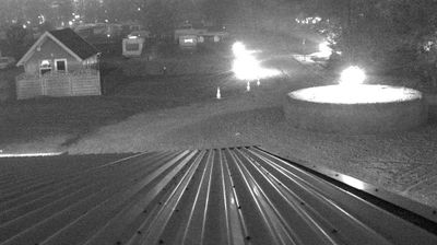
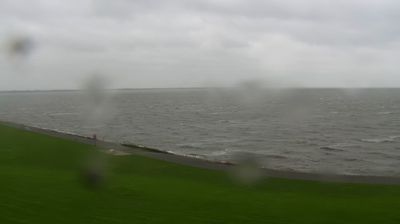
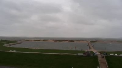
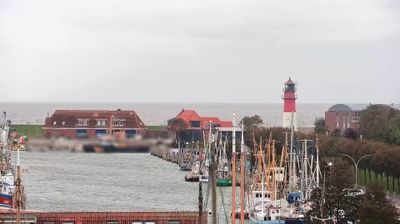
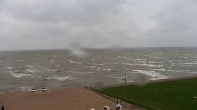


Tönning combines the calm of an old river port with the exposed character of Schleswig-Holstein’s North Sea coast, reflecting its position on the Eider near the Wadden Sea. The town developed as a trading port, and its harbour still leads past the 18th-century Packhaus, once used to store goods brought in by ship. Tönning is also home to the Multimar Wattforum, the Schleswig-Holstein Wadden Sea National Park’s visitor centre, whose exhibitions introduce the tidal flats and their wildlife. The surrounding Eiderstedt peninsula is shaped by marshland, dikes and broad skies rather than urban density. View additional webcams nearby to better understand how Tönning and Eiderstedt relate to the North Sea coast.
2 webcams
Schleswig-Holstein blends maritime openness with rural calm in a way that reflects its position between the North Sea and the Baltic Sea. Germany’s northernmost state borders Denmark and stretches across low farmland, marshes, sandy shores and islands. The Kiel Canal crosses the region, linking the North Sea at Brunsbüttel with the Baltic near Kiel. On the west coast, the tidal flats of the Wadden Sea form part of a UNESCO World Heritage site. Lübeck’s historic centre, shaped by the Hanseatic League and Brick Gothic architecture, adds an important urban counterpoint. Browse additional webcams from the surrounding area to extend your view of Schleswig-Holstein.
114 webcams
Germany stretches from the North Sea and Baltic Sea coasts to the Alps on its southern border, encompassing northern plains, river valleys and forested uplands. The Rhine, Danube and Elbe have long connected its regions, while the Black Forest and Bavarian Alps give the south a more dramatic relief. Berlin’s Brandenburg Gate and Museum Island reflect the capital’s role in German history and culture. Cologne Cathedral, a UNESCO World Heritage Site, rises above the Rhine, and the Bauhaus movement, founded in Weimar in 1919, transformed modern design far beyond Germany. Regional cooking, Christmas markets and brewing traditions bring further character to daily life. Browse additional webcams from the surrounding area to extend your view of Germany.
2.1K webcams