 Tobasco: I-275 at SR-125, 4152
Tobasco lies along the Ohio River’s northern uplands, where wooded ridges and open roadside ground meet the suburban edge of greater Cincinnati. The community is in Clermont County, east of the city, at an important junction of Interstate 275 and Ohio State Route 125. I-275 forms Cincinnati’s beltway, making this stretch a link between metropolitan through-traffic and local travel among residential districts and services. Clermont County was created in 1800 in the Northwest Territory, before Ohio became a state. Tobasco is defined less by a compact town centre than by the transport infrastructure and rolling terrain typical of southwestern Ohio.
Generated by AI
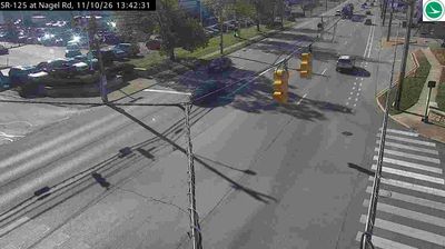
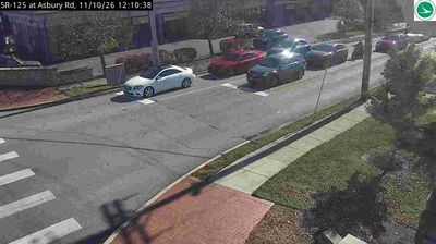
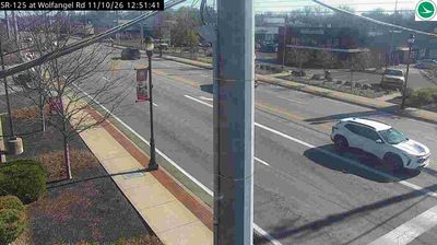
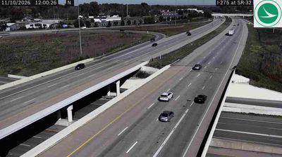
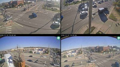
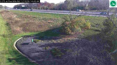
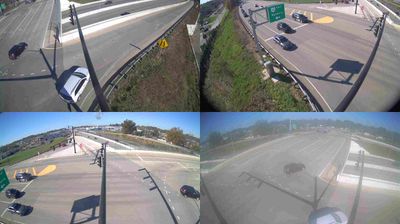

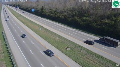

Tobasco lies along the East Fork Little Miami River valley, where wooded slopes and low-density development meet in Clermont County, east of Cincinnati. The river forms part of the wider Little Miami watershed, which crosses southwestern Ohio before joining the Ohio River. East Fork State Park and East Fork Lake lie upstream, extending the area's network of public land and water recreation. Clermont County, established in 1800, provides the historical setting for this small unincorporated Ohio community. Explore nearby webcam locations that provide complementary perspectives on Tobasco and Clermont County.
1 webcam
Built around the Ohio River corridor and Lake Erie trade routes, Ohio grew into a major state of the American Midwest. Its terrain extends from the Appalachian foothills in the southeast across fertile central plains to Lake Erie’s northern shore, while the Cuyahoga River passes through Cleveland before entering the lake. Columbus, the state capital, stands near the centre of the state. Cincinnati developed along the Ohio River, and Cleveland’s Rock and Roll Hall of Fame marks the city’s place in American music. Dayton is closely linked with the Wright brothers and the early history of powered flight. Browse additional webcams from the surrounding area to extend your view of Ohio.
1.1K webcams
The Atlantic, Pacific and Gulf coasts define much of the United States — their ports, fisheries and trade routes have long tied the country’s economy to the wider world. Between them, the Rocky Mountains, Great Plains and Mississippi River basin form sharply different regions, from high western ranges to broad agricultural heartlands. Cities carry much of the national story: New York’s Statue of Liberty, a gift from France dedicated in 1886, remains an enduring symbol, while Washington, DC concentrates major federal institutions. Indigenous nations have shaped these lands for millennia, and their living cultures remain essential to the country’s identity. Find related webcams in the surrounding areas to build a fuller picture of the United States.
32K webcams