 Tha Chin
 occupies a low-lying stretch of the Chao Phraya delta in Samut Sakhon Province, central Thailand. The Tha Chin River, a distributary of the Chao Phraya, flows through the province before reaching the Gulf of Thailand. Highway 35, widely known as Rama II Road, is a major overland link from Bangkok towards Pak Tho and southern Thailand, encouraging dense roadside development along this part of the plain. Downstream, the provincial city of Samut Sakhon is also called Maha Chai; its fishing port and seafood trade are central to the local economy. Tha Chin belongs to a landscape where riverine settlement, industry and transport routes meet.
Generated by AI








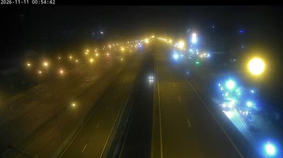

Samut Sakhon Province is best known in Thailand for its seafood industry and the fishing port of Maha Chai. Just southwest of Bangkok, this low-lying coastal province meets the Gulf of Thailand at the mouth of the Tha Chin River. Fishing boats, seafood markets and processing businesses remain central to local life, while salt pans are a familiar feature of the flat shoreline. Maha Chai’s busy market culture reflects the province’s longstanding role in supplying seafood to the Bangkok region. Explore nearby webcam locations that provide complementary perspectives on Samut Sakhon Province.
3 webcams
Thailand stretches from the mountains along its northern borders to the Malay Peninsula, encompassing fertile central plains, river deltas and long tropical coasts. The Chao Phraya River runs through Bangkok, where the Grand Palace and Wat Phra Kaew remain central symbols of the Thai monarchy and Buddhist tradition. North of the capital, Ayutthaya’s temple ruins recall the former Siamese kingdom; farther south, the Andaman Sea and Gulf of Thailand frame islands, fishing ports and beach resorts. Thai food, from street stalls to regional kitchens, is inseparable from daily life, while Songkran marks the traditional New Year each April. Browse additional webcams from the surrounding area to extend your view of Thailand.
147 webcams