 Te Horo: SH1 Makahuri
Te Horo sits on the Kāpiti Coast beside the Tasman Sea in New Zealand’s Wellington Region, where a low coastal plain meets the foothills of the Tararua Range. This small rural settlement lies between Ōtaki and Waikanae, in a landscape of pasture, market gardens, shelterbelts and regenerating native vegetation. State Highway 1 is a major north–south route through the district, connecting the Kāpiti Coast with Wellington and the wider lower North Island. Offshore, Kāpiti Island is a protected nature reserve and an important landmark of this coastline. Te Horo retains a distinctly agricultural character despite its position on one of the region’s key transport corridors.
Generated by AI


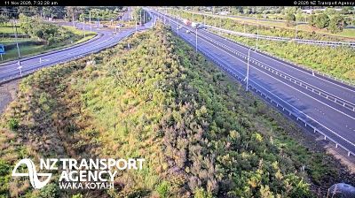
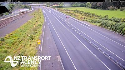



The Tararua Range defines the setting of Te Horo — its western foothills frame a rural plain where farming and horticulture remain central to daily life. This small Kāpiti Coast community lies between Ōtaki and Waikanae, in a part of the Wellington region shaped by country settlements and the nearby Tasman Sea. Kāpiti Island lies offshore to the southwest, while the mountains give the inland horizon a rugged profile. Māori names, from Te Horo itself to nearby Ōtaki and Kāpiti, remain an everyday part of the region’s cultural geography. Continue through nearby webcams to explore different parts of the Kāpiti Coast and Wellington region.
3 webcams
Built around Wellington Harbour, Wellington grew into New Zealand’s capital region, while its eastern districts extend beyond the Remutaka Range into rural Wairarapa. This location lies in South Wairarapa, near Martinborough, where vineyards and sheep-grazing country spread across plains around the Ruamahanga River. Martinborough is recognised for Pinot Noir, giving the district a distinct food-and-wine identity alongside its open farmland and small settlements. Across the range, Wellington city is home to Parliament and the national museum Te Papa Tongarewa. Trace South Wairarapa’s place in the wider Wellington Region by browsing webcams nearby.
39 webcams
New Zealand combines Pacific isolation with strong ties to the wider South Pacific in a way that reflects its position between the Tasman Sea and the open Pacific Ocean. The country’s two main islands are divided by Cook Strait, while the Southern Alps run along much of the South Island and include Aoraki / Mount Cook, its highest mountain. On the North Island, volcanic terrain shapes Tongariro National Park and the central plateau; long coastlines frame cities such as Auckland and Wellington. Māori culture is central to national life, and the Treaty of Waitangi, first signed in 1840, remains a foundational document in relations between Māori and the Crown. See how New Zealand fits within the wider South Pacific by browsing webcams nearby.
495 webcams