 Tampere: Tie 12 - Atala - Tampereelle
The landscape around Tampere is defined by forested terrain and the narrow isthmus between Lakes Näsijärvi and Pyhäjärvi, which has shaped both the built environment and local life. Atala lies on the city’s northeastern residential edge, where Highway 12 passes through a belt of conifer and birch woodland. Tampere developed into one of Finland’s leading industrial centres on the Tammerkoski rapids, whose waterpower supported textile and engineering mills. The former Finlayson mill area near the centre remains a major reminder of that past. Today, dense neighbourhoods, university life and important transport corridors coexist with lakeshores and extensive urban forests. Atala represents the quieter, wooded side of a city widely associated with historic brick factories and its setting between two lakes.
Generated by AI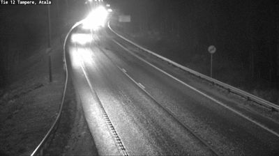
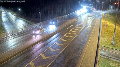
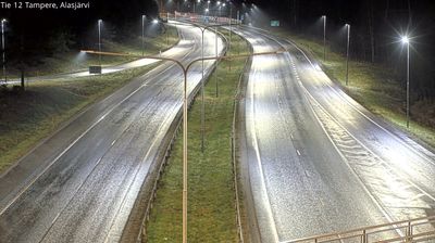
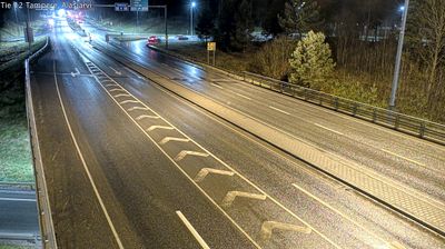
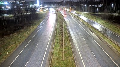
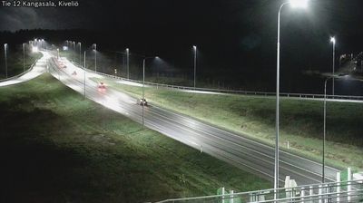

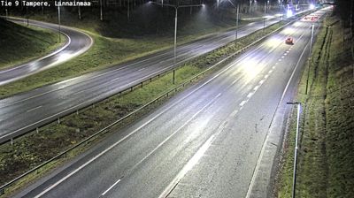
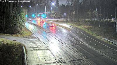


Few cities in Finland have a history as closely tied to water-powered industry as Tampere. The Tammerkoski rapids run through the centre, connecting Lake Näsijärvi with Lake Pyhäjärvi and once supplying the energy that drove the city’s mills. Tampere expanded into a major industrial centre in the 19th century, and the red-brick Finlayson and Tampella factory districts remain defining parts of its urban fabric. Former mill buildings now house museums, workplaces, restaurants and cultural venues, while the lakeshore setting keeps water close to everyday city life. View additional webcams nearby to better understand how Tampere relates to the Finnish Lakeland.
52 webcams
The terrain of Pirkanmaa ranges from lake-studded lowlands in the south to forested uplands in the north, giving this central Finnish region the character of a classic Lakeland district. At its core, Tampere stands between Lakes Näsijärvi and Pyhäjärvi, whose difference in level creates the Tammerkoski rapids running through the city centre. Those rapids powered the textile and engineering industries that shaped Tampere; the red-brick Finlayson and Tampella mill areas remain prominent reminders of that past. Beyond the city, shores, islands and wooded ridges set the rhythm for boating, walking and summer cottages. Browse additional nearby webcams to better understand how Pirkanmaa connects with the Finnish Lakeland.
119 webcams
The terrain of Finland ranges from low coastal plains along the Gulf of Bothnia to fells in Lapland, creating a country of forests, lakes and long northern distances. More than 180,000 lakes shape everyday life, while the Lakeland region is threaded with waterways and islands. Helsinki, on the Gulf of Finland, combines neoclassical landmarks around Senate Square with contemporary Finnish design. Farther north, the Sámi are Finland’s only recognised Indigenous people, and their culture remains closely connected to the Arctic region. In winter, snow and ice transform the north; in summer, long daylight extends outdoor life well into the evening. Continue through nearby webcams to explore different parts of Finland.
1.7K webcams