 Tama Ward: Shukugawara 6-chome: 二ヶ領用水
Nikaryō Yōsui has served as an irrigation canal in northern Kawasaki since the early Edo period. Built to bring water from the Tama River across what was then farming country in Musashi Province, it supported rice cultivation and helped shape settlements on the river’s south bank. Initial works were completed in 1611 and are traditionally attributed to the local administrator Inage Saburōzaemon. Its name refers to two administrative districts once irrigated by the canal. Today, sections pass through Tama Ward’s dense residential streets, where embankments, footpaths and bridges retain a clear trace of Kawasaki’s agricultural past. Near Noborito, the canal joins the Tama River corridor, the boundary between Kawasaki and Tokyo.
Generated by AI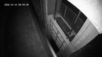
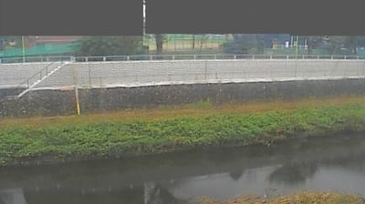
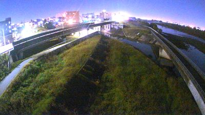



The Tama River defines the setting of Tama Ward—forming Kawasaki’s northern boundary with Tokyo while residential districts extend across the inland hills. Ikuta Ryokuchi, one of the ward’s principal green spaces, contains the Japan Open-Air Folk House Museum, where traditional buildings relocated from around the country illustrate regional building traditions, including steep-roofed gassho-zukuri houses. Nearby, the Fujiko F. Fujio Museum is dedicated to the creator of Doraemon, one of Japan’s best-known manga characters. Continue through nearby webcams to explore different parts of Tama Ward and Kanagawa Prefecture.
3 webcams
Sagami Bay and the foothills of the Tanzawa Mountains shape much of Kanagawa Prefecture — the coast supports port cities and seaside communities, while the interior rises toward forested uplands. Yokohama, the prefectural capital, developed into a major international port after opening to foreign trade in 1859; its waterfront remains central to the city’s identity. To the west, Hakone brings volcanic terrain and hot springs, while Kamakura preserves important Buddhist temples and the Great Buddha at Kōtoku-in. Along the Shōnan coast near Fujisawa, beaches and Enoshima link daily life closely to the sea. Continue through nearby webcams to explore different parts of Kanagawa Prefecture.
36 webcams
Among the countries of East Asia, Japan stands out for its volcanic archipelago, stretching from the cool north of Hokkaido to subtropical Okinawa. Mount Fuji, the nation’s highest mountain, rises above central Honshu, while the Pacific Ocean and the Seto Inland Sea have long shaped settlement, fishing and travel. Tokyo pairs dense urban life with major museums and neighbourhood traditions; Kyoto preserves temples, gardens and the legacy of Japan’s imperial court. Seasonal customs give journeys a changing rhythm, from spring cherry blossom viewing to autumn leaves. Regional cooking is equally varied, with sushi, ramen and local specialties reflecting coastlines, climate and agriculture. Explore nearby webcam locations that provide complementary perspectives on Japan’s islands, cities and mountain regions.
1.3K webcams