 Suvatnet
The landscape around Suvatnet is wooded and shaped by freshwater, which has influenced both the built environment and local life. This small locality in Agder lies on the road corridor west of Kristiansand, with Fv439 following forest-fringed ground near the lake. Suvatnet forms part of southern Norway’s low, heavily wooded coastal hinterland, where rocky terrain, coniferous forest and inland water divide the settled areas. Its character is practical rather than urban: roads and scattered homes use the available level ground while woodland remains close by. Kristiansand, the regional centre to the east, was founded by King Christian IV in 1641 and is known for its planned grid of streets. The contrast between Suvatnet’s rural setting and the city reflects the varied character of Agder.
Generated by AI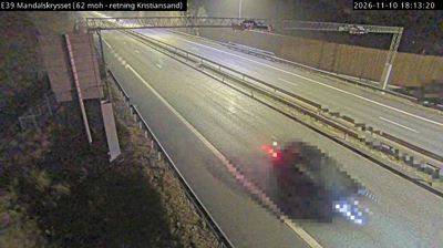


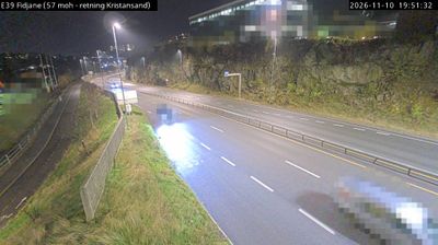



Suvatnet combines a quiet lakeside setting with the firmly inland character of southern Norway in a way that reflects its position in Agder. The lake Suvatnet is the area’s defining geographic feature, set amid the forests and freshwater landscapes that contrast with Agder’s Skagerrak coast. Rather than urban landmarks, the appeal here lies in the scale and texture of the Norwegian interior. Agder took its present county form in 2020, when Aust-Agder and Vest-Agder were merged. Norway’s allemannsretten, the right of access to uncultivated land, remains central to outdoor life. See additional webcams nearby to understand how Suvatnet connects with Agder’s inland surroundings.
1 webcam
Agder is best known within Norway for its long Skagerrak coastline. That maritime identity is balanced by a spacious interior of forests, lakes and upland valleys, where the Otra River runs through Setesdal before reaching the coast at Kristiansand. The county’s southern towns, including Kristiansand, Arendal and Grimstad, have long been shaped by seafaring and trade. Further inland, Setesdal maintains distinctive traditions: its traditional music, dance and singing were inscribed on UNESCO’s Representative List of the Intangible Cultural Heritage of Humanity in 2019. Explore additional webcams nearby to see how Agder’s valleys and coast connect across southern Norway.
93 webcams
Norway has served as a seafaring link between the North Atlantic and northern Europe since the Viking Age. Its long coastline is cut by fjords, while the Lofoten archipelago rises sharply from the Norwegian Sea and the mountains of Jotunheimen include Galdhøpiggen, Norway’s highest peak. Bergen’s Bryggen, the former Hanseatic wharf, recalls centuries of maritime trade. Farther north, Sámi culture remains an essential part of the country’s identity. Explore nearby webcam locations that provide complementary perspectives on Norway’s coast, fjords and mountain regions.
1.5K webcams