 Sungai Buloh
 straddles the Sungai Buloh River in Selangor, and its lowland setting has long connected rural settlements with the expanding Klang Valley. The town is closely associated with the former Sungai Buloh Leprosy Settlement, established in 1930 as one of the largest leprosy settlements in the British Empire; its surviving grounds are protected as a national heritage site. Housing, roads and drainage infrastructure now sit alongside palms and remaining open land, reflecting rapid urban change on Kuala Lumpur’s northern fringe. Rail links and major highways have made Sungai Buloh an important residential and service centre within Greater Kuala Lumpur.
Generated by AI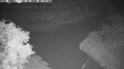
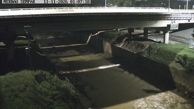

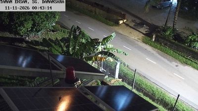
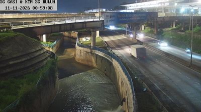
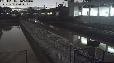

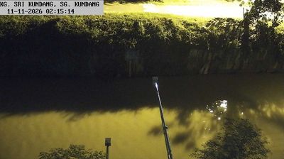


Tucked along the Sungai Buloh River on the northwestern edge of Greater Kuala Lumpur, Sungai Buloh is a town whose character is shaped by lowland waterways and rapid metropolitan growth. Once associated with plantations and rural settlement, it is now linked to the capital by KTM Komuter and MRT rail services, while Selangor’s urban north continues to develop around it. Its most significant historic site is the former Sungai Buloh Leprosy Settlement, established in 1930; now known as the Valley of Hope, it records the lives and medical care of people once isolated there. The town illustrates the shift between Kuala Lumpur’s built-up fringe and Selangor’s broader lowlands. Discover other points of interest through webcams located across Selangor.
6 webcams
Among the states of Malaysia, Selangor stands out for its position between the Strait of Malacca and the metropolitan area around Kuala Lumpur. This populous west-coast state combines mangrove-lined shores and the Klang River basin with expanding cities, plantation land and forested foothills of the Titiwangsa Range. Shah Alam, the state capital, is marked by the Sultan Salahuddin Abdul Aziz Shah Mosque, while Klang remains associated with Selangor’s royal heritage and Port Klang. Inland, Batu Caves is a major Hindu pilgrimage site, especially during Thaipusam. Browse nearby webcams to build a fuller picture of Selangor’s coast and urban hinterland.
72 webcams
The South China Sea defines much of Malaysia — it separates Peninsular Malaysia from the states of Sabah and Sarawak on Borneo, while sustaining ports, fisheries and island connections. Malay, Chinese, Indian and Indigenous traditions shape the country’s languages, food and religious life. Kuala Lumpur’s Petronas Twin Towers are a national landmark, while Melaka recalls centuries of trade across the Strait of Malacca. Rainforest reserves and Mount Kinabalu in Sabah contrast with the dense urban energy of the west coast, and Penang is widely known for its street-food culture. Continue through nearby webcams to explore different parts of Malaysia.
107 webcams