 Sumidouro: Campo de Futebol de Dona Mariana - Dona Mariana - Rua do Posto de Saúde - Rua do Campo
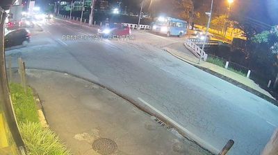
Dona Mariana occupies a built-up valley setting in the municipality of Sumidouro, in Rio de Janeiro state. At its centre, Praça Dona Mariana joins Rua do Campo and Rua do Posto de Saúde, while the Campo de Futebol de Dona Mariana is a clear local landmark. Homes, small businesses and public facilities cluster around this paved local centre beneath the hills of inland Rio de Janeiro. The square’s playground and football ground underline the district’s everyday social role. Football has a deep place in Brazilian public life, and neighbourhood pitches provide space for recreation and community gatherings. Dona Mariana has no monumental core; its identity is rooted in the practical rhythm of a residential area within Sumidouro’s hilly municipality.
Generated by AI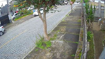
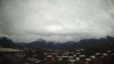

Few towns in Rio de Janeiro’s mountainous interior have a history as closely tied to 19th-century coffee cultivation as Sumidouro. Set among the folded hills of the Serra do Mar, the municipality forms part of the Paquequer River’s headwater country, within the wider Paraíba do Sul basin. Coffee estates helped shape local settlement, while rural life still defines much of the area, with small farms scattered across valleys and slopes. Sumidouro belongs to the state’s Região Serrana, far from the coastal metropolis and its better-known beaches. Browse other webcams across Rio de Janeiro’s mountain region to place Sumidouro in a wider geographic context.
1 webcam
The Serra do Mar defines much of Rio de Janeiro - its forested escarpments and valleys have shaped settlement, farming and routes between the interior and Atlantic coast. The state spans humid coastal lowlands, mountain country and the Paraíba do Sul valley, whose nineteenth-century coffee boom left a lasting mark on its towns and estates. On Guanabara Bay, the city of Rio de Janeiro is the state capital and home to the Corcovado statue of Christ the Redeemer. Beyond the metropolis, protected Atlantic Forest and smaller inland communities give the state a varied identity. Explore nearby webcam locations that provide complementary perspectives on Rio de Janeiro’s mountains, towns and Atlantic shoreline.
12 webcams
Brazil has served as a Portuguese colonial link between Europe and South America since the 16th century. Its immense territory extends from the Amazon River basin in the north to the Atlantic coast, with the Pantanal wetlands and Brazilian Highlands creating very different regions inland. Rio de Janeiro sits beside Guanabara Bay beneath Sugarloaf Mountain, while Brasília is known for its planned layout and modernist buildings by Oscar Niemeyer. Portuguese is the official language, and football, regional cuisines and Carnival celebrations are central to public life across the country. Continue through nearby webcams to explore different parts of Brazil.
149 webcams