 Stockton Springs
Among the places of southern New Hampshire, Londonderry stands out for its position on Interstate 93, a principal north–south route between the Massachusetts line and Manchester. The town occupies gently rolling, wooded ground east of the Merrimack River, where major transport links meet residential neighbourhoods and remaining open land. Founded as Nutfield by Scots-Irish settlers in 1719, Londonderry retains a strong association with orchard farming; apples have long been central to its local identity. Its position within the wider Manchester area also connects it with Boston and the White Mountains farther north.
Generated by AI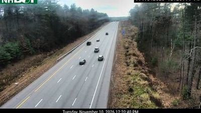
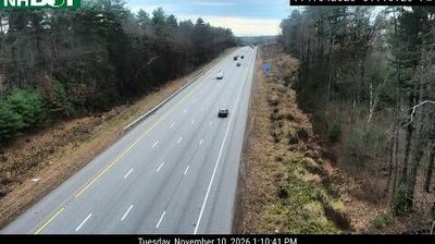
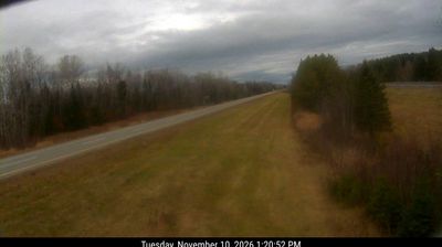

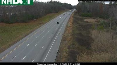
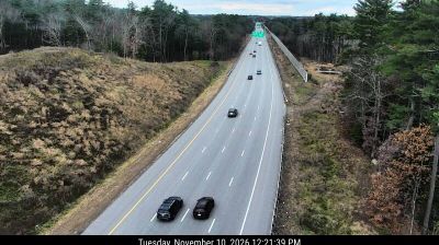
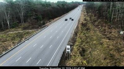
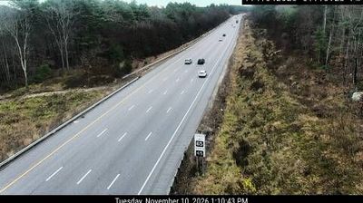

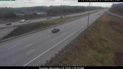

Stockton Springs sits on Penobscot Bay in coastal Maine, where the bay’s western shore approaches the mouth of the Penobscot River. This small Waldo County town faces a tidal seascape of wooded headlands, coves and changeable Atlantic weather. Fort Point State Park preserves a defining local landmark: Fort Point Light, first established in 1836, has long helped mariners identify the entrance to the bay. The lighthouse connects today’s shoreline walks with Maine’s maritime navigation history. Move on to other webcams in Maine to compare coastal settings around Penobscot Bay.
2 webcams
Atlantic coastline and extensive northern forests define much of Maine - fishing ports, boatbuilding communities and the forest-products industry have long shaped the state’s economy and identity. The Gulf of Maine cuts into a rugged shore of islands, peninsulas and tidal inlets, while the Penobscot River runs from the interior toward Penobscot Bay. Inland, Baxter State Park contains Mount Katahdin, the northern terminus of the Appalachian Trail. Acadia National Park on Mount Desert Island protects granite headlands and coastal woodland. Maritime traditions remain tangible in Maine’s lobster fishery, and Portland Head Light, completed in 1791, stands near Portland as a historic beacon. Browse additional webcams from the surrounding area to extend your view of Maine.
427 webcams
The Atlantic, Pacific and Gulf coasts define much of the United States — their ports, fisheries and trade routes have long tied the country’s economy to the wider world. Between them, the Rocky Mountains, Great Plains and Mississippi River basin form sharply different regions, from high western ranges to broad agricultural heartlands. Cities carry much of the national story: New York’s Statue of Liberty, a gift from France dedicated in 1886, remains an enduring symbol, while Washington, DC concentrates major federal institutions. Indigenous nations have shaped these lands for millennia, and their living cultures remain essential to the country’s identity. Find related webcams in the surrounding areas to build a fuller picture of the United States.
32K webcams