 Stephenville Crossing
Few places in Newfoundland and Labrador have a history as closely tied to railway transport as Black Duck Siding. Its name preserves the function of a former siding on the Newfoundland Railway, which once connected communities across the island. Today Route 1, the Trans-Canada Highway, passes through a sparsely settled stretch of low, forested terrain near Stephenville Crossing. Conifers, scrub and rolling ground give this part of Newfoundland’s west coast an expansive rural character. Black Duck Siding is a useful reference point on the road network serving the Bay St. George area and communities along the province’s southwest coast.
Generated by AI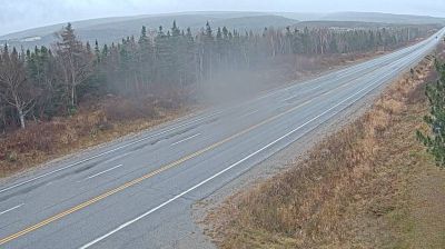

Stephenville Crossing has served as a railway settlement on Newfoundland’s west coast since the early 20th century. Set near Bay St. George and the mouth of Harry’s River, it lies where wooded inland routes approach the Gulf of St. Lawrence shoreline. The community grew beside the Newfoundland Railway, the island-wide line whose operations ended in 1988. Its former corridor is now part of the Newfoundland T’Railway Provincial Park, a long-distance trail following the old railbed across the island. Stephenville Crossing remains closely connected to western Newfoundland’s coastal communities and transport heritage. Continue through nearby webcams to explore different parts of Bay St. George and western Newfoundland.
1 webcam
Among Canada’s regions, Newfoundland and Labrador stands apart for its far-reaching North Atlantic coastline and the meeting of the island of Newfoundland with mainland Labrador. The province faces the Labrador Sea to the northeast and the Gulf of St. Lawrence along its western and southern reaches; its terrain ranges from exposed shores and barrens to forests, lakes and the Labrador Plateau. Gros Morne National Park, on Newfoundland’s west coast, is a UNESCO World Heritage Site celebrated for geology that exposes deep sections of Earth’s crust. Inuit, Innu and Mi’kmaq communities are integral to the province’s living cultures, alongside outport traditions shaped by the cod fishery. Browse additional webcams from the surrounding area to extend your view of Newfoundland and Labrador.
45 webcams
Canada has served as a frontier between French and British colonial powers since the 17th century. The world’s second-largest country extends from Atlantic shores to the Pacific and Arctic coasts, with the Canadian Shield, the Rocky Mountains, the Great Lakes and the St. Lawrence River shaping its vast geography. First Nations, Inuit and Métis peoples are central to Canada’s identity, while Ottawa’s Parliament Hill represents its federal political life. French remains the official language of Quebec, adding a distinct dimension to the country’s public culture. See how Canada connects across North America by browsing webcams in neighbouring regions.
3.5K webcams