 South Staffordshire: Wolverhampton Halfpenny Green Airport
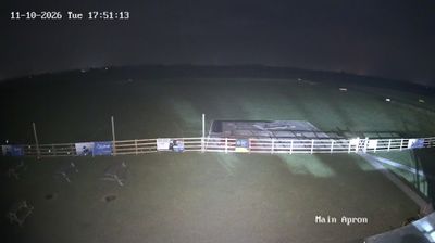
Open farmland in South Staffordshire defines the setting of Wolverhampton Halfpenny Green Airport — a paved runway and broad grass airfield sit in a low, sparsely built rural area south-west of Wolverhampton. Established in 1941 as RAF Halfpenny Green, the site served wartime military aviation before taking on a civilian role. Today it is a general-aviation airport, used for private flying, training and aviation businesses rather than scheduled airline traffic. Its position between the West Midlands conurbation and the Shropshire border gives it a distinctly country-airfield character, with fields and scattered settlements around the perimeter.
Generated by AI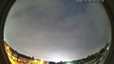


Few districts in England have a history as closely tied to the rural fringe of the Black Country as South Staffordshire. Rather than a single town, this local-government district brings together settlements around Wolverhampton, including Codsall, Wombourne, Penkridge and Kinver, where farmland and wooded lanes remain a strong presence. The River Stour and the Staffordshire and Worcestershire Canal cross its western side, linking the area with the Severn valley and the Midlands waterways. At Kinver Edge, sandstone rock houses preserved by the National Trust recall domestic life that continued into the 20th century. Browse other webcams across Staffordshire and the West Midlands to place South Staffordshire in a wider geographic context.
1 webcam
England’s lowland plains, upland ranges and extensive coastline define much of England - these contrasts have long shaped farming, maritime trade and the growth of its cities. The Midlands, where this location lies, sit at the country’s inland centre and were pivotal to Britain’s Industrial Revolution. The River Thames links London with the North Sea, while the Pennines form a major upland spine farther north. Roman roads, medieval cathedrals and industrial-era towns remain visible parts of the national fabric. Explore related webcams around England to build a fuller picture of this varied country.
1.2K webcams
The United Kingdom combines long-established institutions with sharply varied regional identities in a way that reflects its position within northwestern Europe. England, Scotland, Wales and Northern Ireland share a state while retaining distinct traditions, languages and landscapes. The River Thames runs through London, where the Palace of Westminster and the Tower of London mark centuries of national life; Edinburgh’s Old and New Towns are UNESCO-listed. The Highlands, Eryri’s mountains and Atlantic-facing coasts contrast with the densely settled southeast. Football, theatre, pub culture and music remain everyday threads in a country with global cultural influence. View additional webcams nearby to better understand how the United Kingdom relates to its Atlantic and European surroundings.
1.3K webcams