 South Canberra: Canberra and Region Visitors Centre - Lake Burley Griffin
Among the places of the Australian Capital Territory, South Canberra stands out for Lake Burley Griffin, the planned capital’s central waterway. At Regatta Point, the Canberra and Region Visitors Centre sits beside the lake, introducing a city designed around formal axes, parkland and national institutions. Created by damming the Molonglo River, the lake was filled in 1963 and named for Walter Burley Griffin. He and Marion Mahony Griffin designed Canberra after winning the 1912 international design competition. Its three basins structure the city’s central area, while bridges and foreshore paths connect the shores. South Canberra includes the Parliamentary Triangle, the carefully ordered setting for many of Australia’s principal national institutions.
Generated by AI


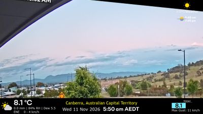

Tucked between Lake Burley Griffin and Red Hill, South Canberra is an area whose character is shaped by the deliberate geometry of Australia’s planned capital. Its inner-southern districts lead towards Capital Hill, where Parliament House has housed the federal parliament since 1988; the building’s grass-covered roof continues the landscape design into the structure itself. North of here, the Parliamentary Triangle organizes major national institutions around broad avenues, following the plan developed by Walter Burley Griffin and Marion Mahony Griffin. Lake Burley Griffin, created by damming the Molonglo River in 1963, brings a waterfront dimension to this civic core, with parks and paths linking government precincts and neighbourhoods. Discover how South Canberra connects with the rest of the ACT by browsing webcams in nearby districts.
2 webcams
Australian Capital Territory occupies an inland plateau in southeastern Australia. Surrounded by New South Wales, it combines Canberra, the national capital, with broad bushland and mountain country at the northern edge of the Australian Alps. The Murrumbidgee River crosses the territory’s west, while the Brindabella Range forms a rugged backdrop along its western side. Namadgi National Park protects granite country, eucalypt forest and Aboriginal rock-art sites. In Canberra, Parliament House and the Australian War Memorial reflect the territory’s role in national public life, while Lake Burley Griffin shapes the central city. Discover other points of interest through webcams located across the Australian Capital Territory.
8 webcams
Australia’s terrain extends from tropical rainforests in the northeast to arid plains in the interior, producing dramatic climatic contrasts. The Great Dividing Range follows much of the eastern coast, while the Great Barrier Reef lies off Queensland in the Coral Sea and Uluru rises from the central desert. Aboriginal and Torres Strait Islander peoples maintain living cultures whose connections to Country long predate European settlement. In Sydney, the sail-like Opera House, completed in 1973, stands beside one of the world’s best-known harbours. Discover further points of interest through webcams located across Australia.
1.7K webcams