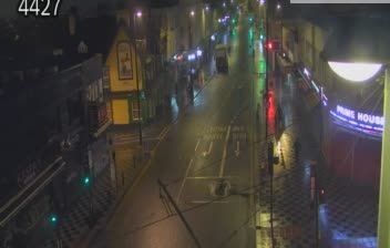
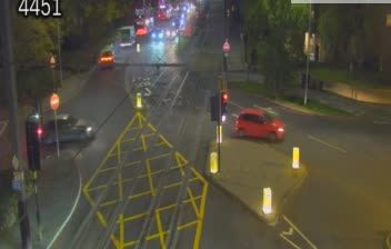
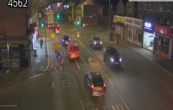
 South Cambridgeshire: Croydon: Park Lane/Barclay Rd
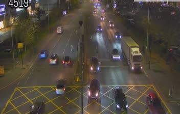
Croydon lies in a broad valley near the headwaters of the River Wandle, between inner London and the North Downs. Park Lane and Barclay Road form part of the built-up edge of the town centre, where through traffic, footways and larger civic or commercial buildings meet mature roadside trees. Croydon expanded rapidly after the London and Croydon Railway opened in 1839 and remains one of south London’s principal urban centres. The former Croydon Airport, farther south in the borough, recalls the area’s early importance to British civil aviation. Older residential streets, post-war development and newer buildings extend from the centre towards the wooded slopes of the Downs. Rail, tram and bus services make Croydon an important connection between central London and the capital’s southern districts.
Generated by AI

South Cambridgeshire is best known within England for Imperial War Museum Duxford, based on a former RAF airfield and home to major aviation collections. Encircling much of Cambridge, this largely rural district extends across low, cultivated country shaped by the River Cam and its tributaries. The National Trust’s Wimpole Estate preserves a grand country house, working farm and parkland, while settlements such as Linton and Sawston reflect the area’s long-established village life. Duxford’s historic hangars and flying events provide a direct link to Britain’s aviation story. Discover other points of interest through webcams located across South Cambridgeshire.
42 webcams
England’s lowland plains, upland ranges and extensive coastline define much of England - these contrasts have long shaped farming, maritime trade and the growth of its cities. The Midlands, where this location lies, sit at the country’s inland centre and were pivotal to Britain’s Industrial Revolution. The River Thames links London with the North Sea, while the Pennines form a major upland spine farther north. Roman roads, medieval cathedrals and industrial-era towns remain visible parts of the national fabric. Explore related webcams around England to build a fuller picture of this varied country.
1.2K webcams
The United Kingdom combines long-established institutions with sharply varied regional identities in a way that reflects its position within northwestern Europe. England, Scotland, Wales and Northern Ireland share a state while retaining distinct traditions, languages and landscapes. The River Thames runs through London, where the Palace of Westminster and the Tower of London mark centuries of national life; Edinburgh’s Old and New Towns are UNESCO-listed. The Highlands, Eryri’s mountains and Atlantic-facing coasts contrast with the densely settled southeast. Football, theatre, pub culture and music remain everyday threads in a country with global cultural influence. View additional webcams nearby to better understand how the United Kingdom relates to its Atlantic and European surroundings.
1.3K webcams